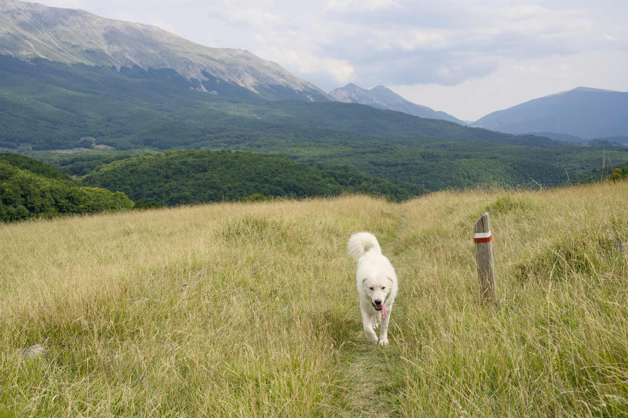
I grew up in Sweden, in an area with vast forests, and some of my best childhood memories involve walking in the forest. So when I started getting fitter and more active, nature walks in whatever setting were very appealing and I wanted to get into hiking.
HIking is still a confusing word. To me it means walking on a nature trail regardless of difficulty level, although I mostly think of a rougher terrain than just an easy forest path. Wikipedia has an excellent description of what it’s about.
Some of you know that my hiking attempts in the past have been complicated. I’ve chickened out from continuing on certain trails because they seemed to difficult and I didn’t feel ready for it, or like last year when I got a foot injury after a stupid choice of footwear combined with a longer than planned hike on a quite rough terrain with massive hills.
This year my focus was to get back to exploring trails, enjoying it and doing it without injuries. I looked up some different routes that were labelled as easy or intermediate, and up to 5-6 km to begin with. I learned last year that walking on rocky trails require far more fitness and strength than simple road walking even if you’re used to walking up to 10 km or more, so I wanted to start with short distances just in case. We also had the hot weather to deal with.
We’ve had some really great experiences! I came home from this holiday with a huge confidence boost and the plan to explore new routes at home, and of course do more in Italy next year.
But we had some bummers, caused by poor planning, wrong shoes, crowded trails (related to poor planning!) and more. Those walks were also pleasant and beautiful, but could have been better.
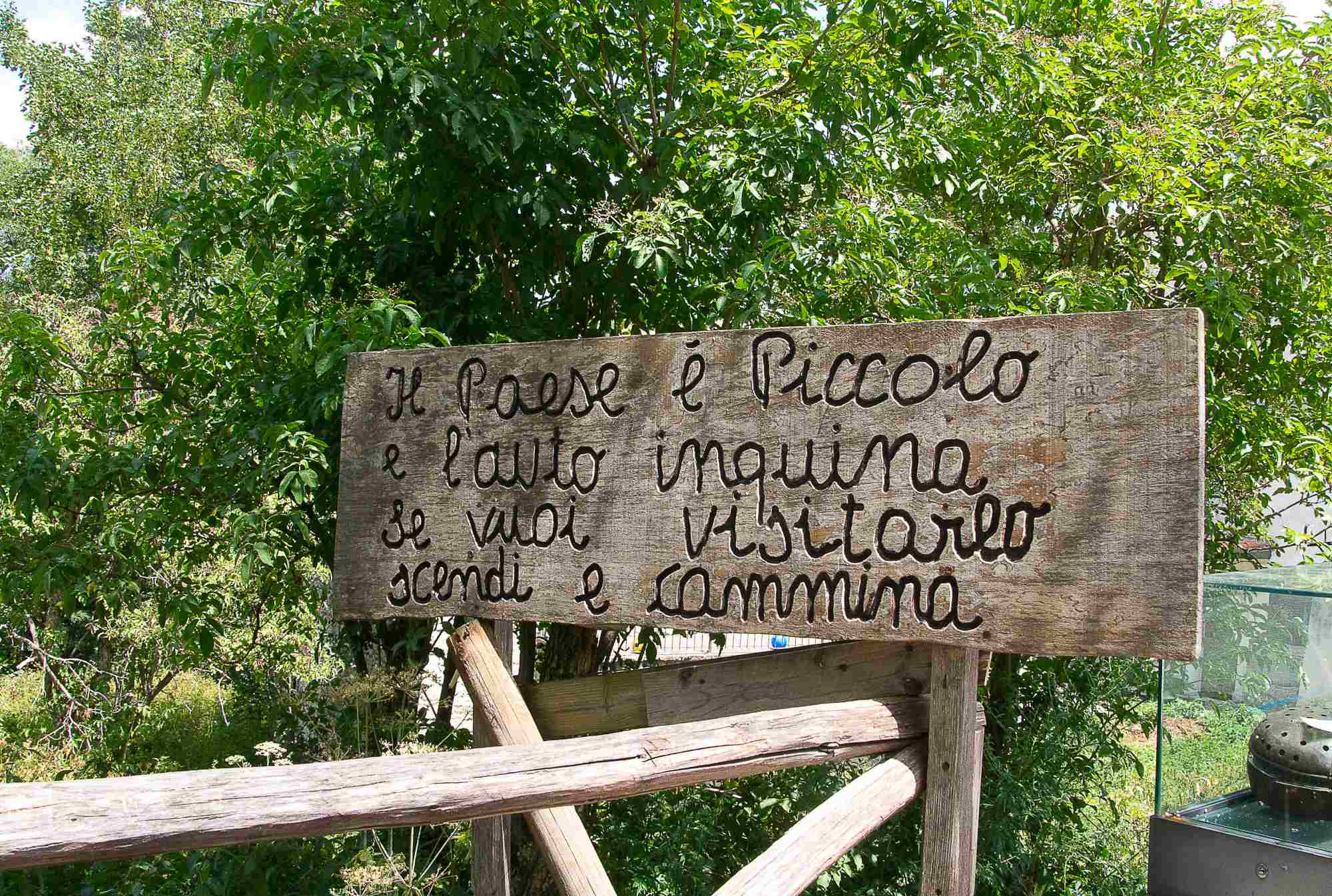
Roccacaramanico – where the trail was broken
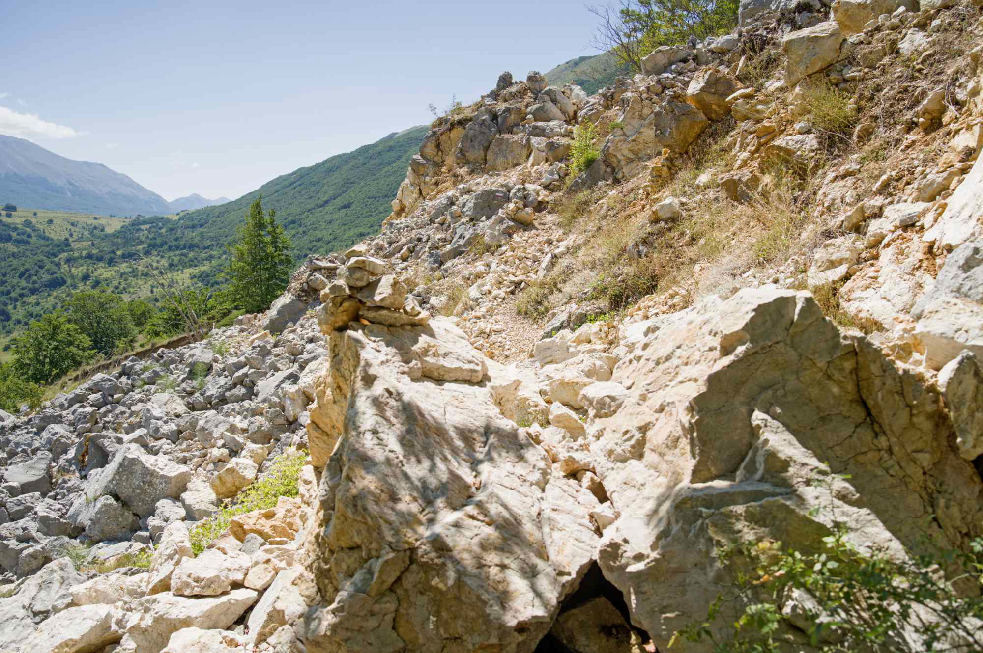
It was a lovely trail but after about 1 km it was interrupted by what looked like a previous rockslide or other slide. It was a bummer and we turned back to the village for lunch instead. But Roccacaramanico is always beautiful.
Bosco di Sant’ Antonio – is there more to it than a picnic park?
I should have done some better research on this one. It’s a well-known forest and I just thought that since everyone talks about it, it must be good so let’s go and explore. But we found a huge family picnic park, a girl had put up her chair ON THE ACTUAL TRAIL and sat there reading a book as if that’s completely normal behaviour. And we continued walking hoping we would get away from the crowds and on to the “real” trails, but we came back to where we started. Then when we drove away, we saw several other entrances so maybe there are other more challenging trails out there. I’ll look this up more for the next time.
Sentiero del cuore (Scanno) – where I had the wrong shoes
This was a beautiful trail and we love Scanno. But it was the weekend after Ferragosto (a big family holiday) the place was packed, and in addition I asked my husband to pack down my hiking shoes and took the wrong ones! How could he not know that my hiking shoes are my pink Altras? He brought my gym shoes and even if they are lovely, I don’t trust them to keep my feet happy on rough terrain. It worked ok but my feet got very tired so after lunch in Scanno we decided to go back home and walk the full loop another time.
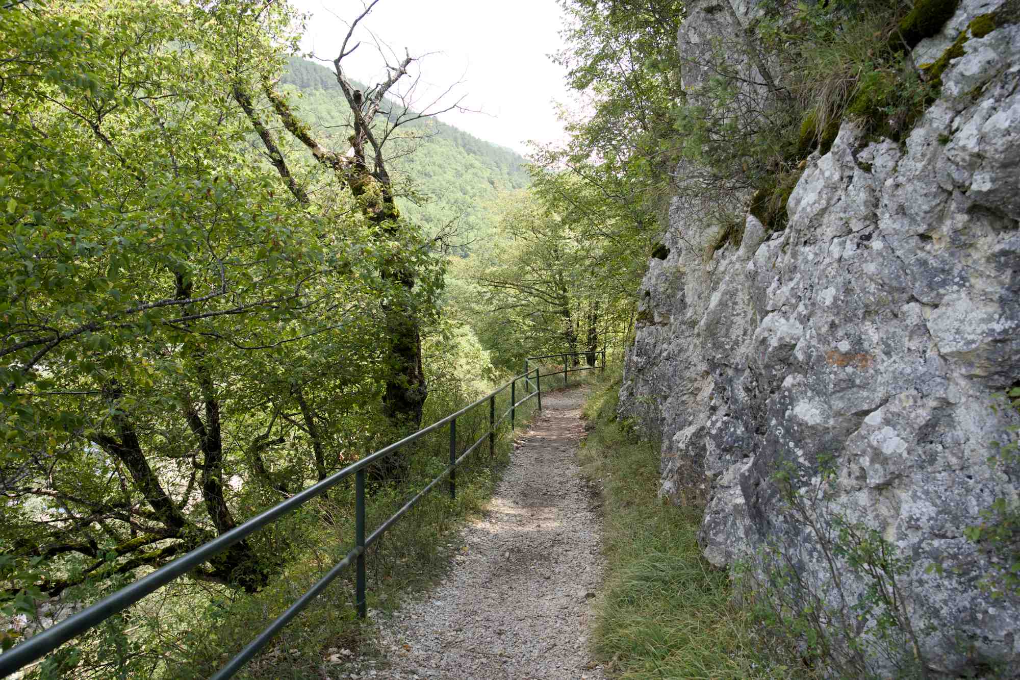
Valle dell’ Orfento – we’ll go back when it isn’t peak tourist season
Valle dell’ Orfento is a beautiful nature reserve near the village of Caramanico Terme. It’s stunning but also very well-known and popular, and there are some organised guided walks there. We went on a Tuesday but it was in August so it was still very crowded. We also made the mistake of thinking you can enter anywhere, I had missed the information that it’s one-way only and where we entered was actually the exit. This was ok until the guided groups started coming. After 1,2 km we decided to turn back and go back another time. Even walking in the right direction the queues were insane! But oh, the beauty. We’ll be back for sure.
We learned some lessons here, but what I remember the most afterwards is the more successful hikes – the ones that boosted my confidence, the stunning views, the forests, the feeling of achievement when I didn’t chicken out. Let’s move on to the good stuff.
Hermitage of San Bartolomeo in Legio
After surviving the mad queues in Valle dell’ Orfento, we went to a nearby village where there is a clothing shop where they also sell hiking gear. We’ve shopped there a few times so the owners know us by now which is very nice!
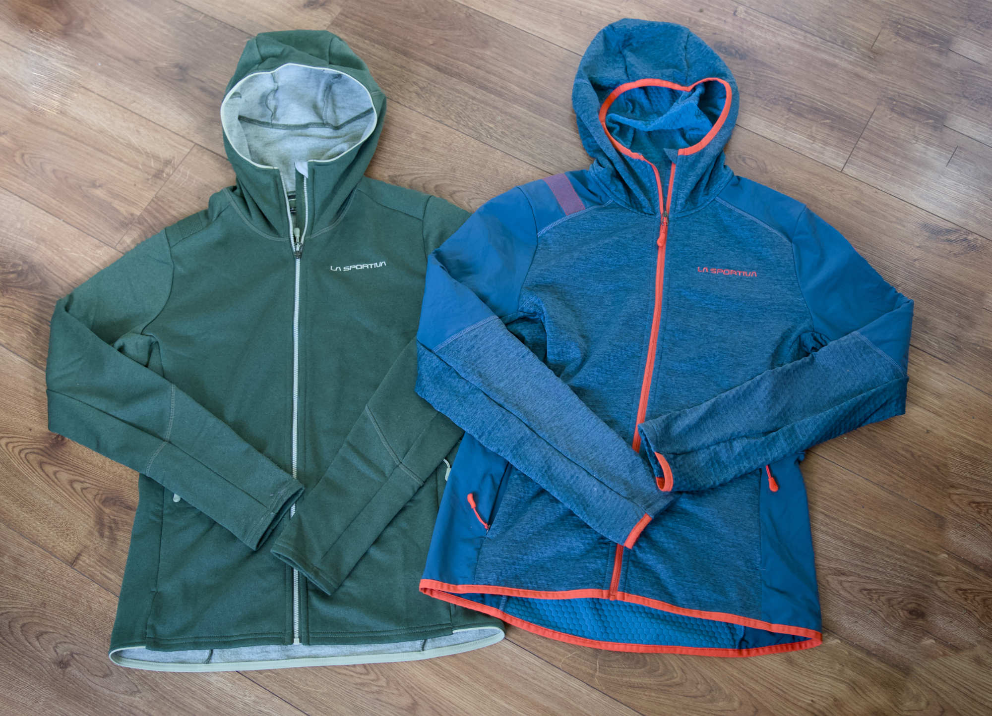
They are very salesy, but in a good way! They are dealers of the La Sportiva brand which has some really excellent stuff, and they took out some perfect items both for me and my husband, and I did some good shopping.
But they had some hiking-related recommendations too. I told them about our experience during the morning and that we just wanted to enjoy nature on a quiet forest trail. They suggested a route that would go out from further up the mountain towards the hermitage of Santo Spirito, and to continue on the side of the mountain to do a loop. It would be a fairly strenuous but beautiful walk and we decided to go for it. I had decided to challenge myself with hiking during this trip so why not?
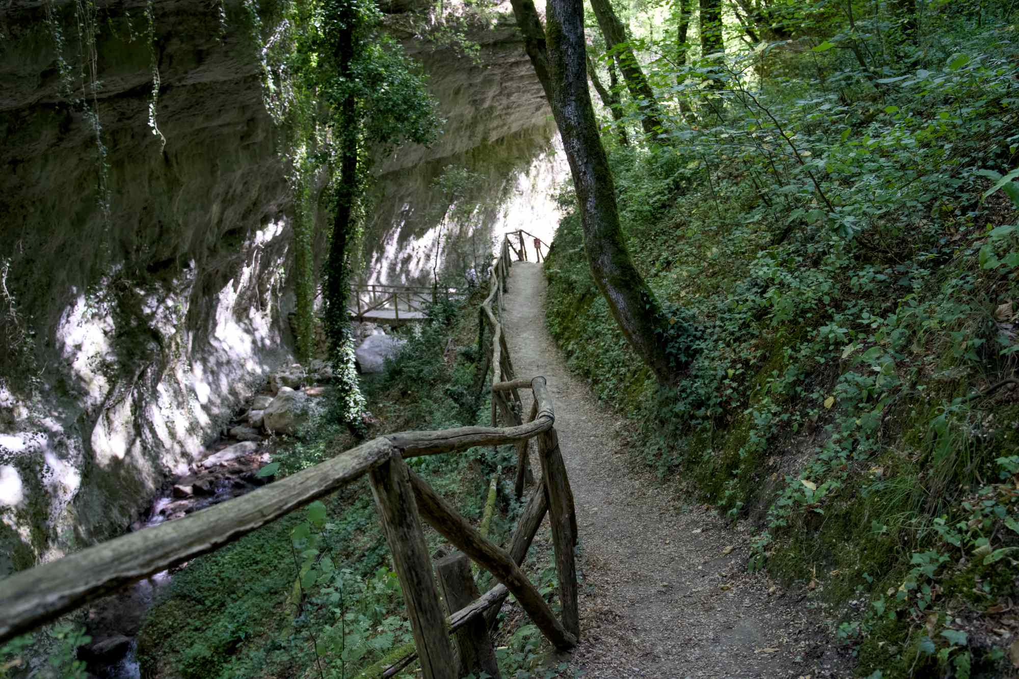
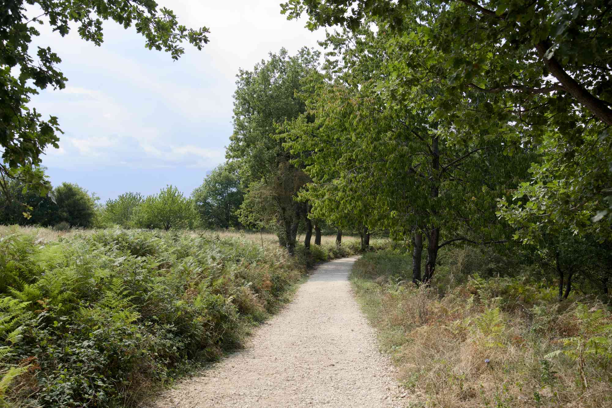
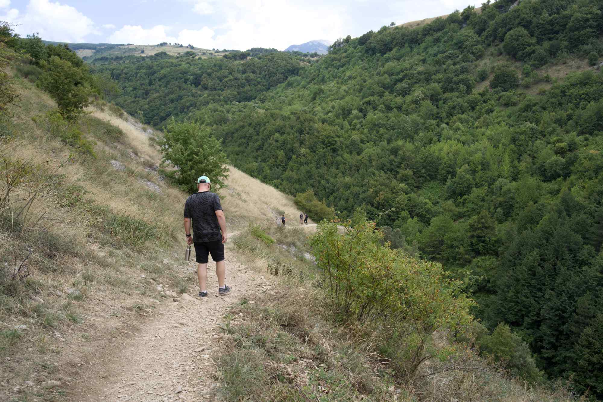
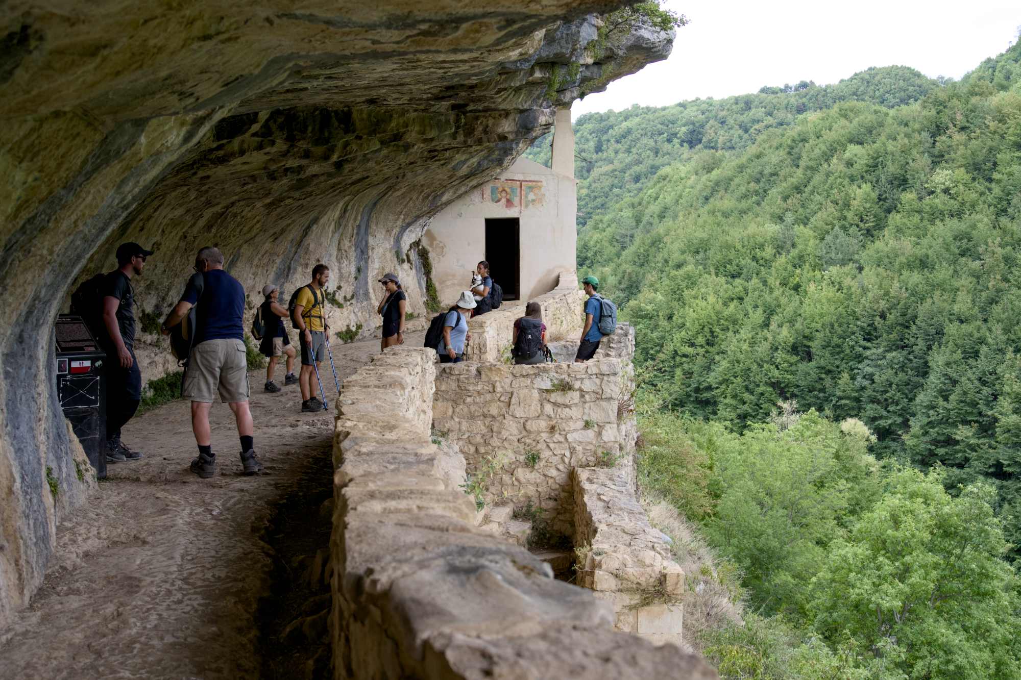
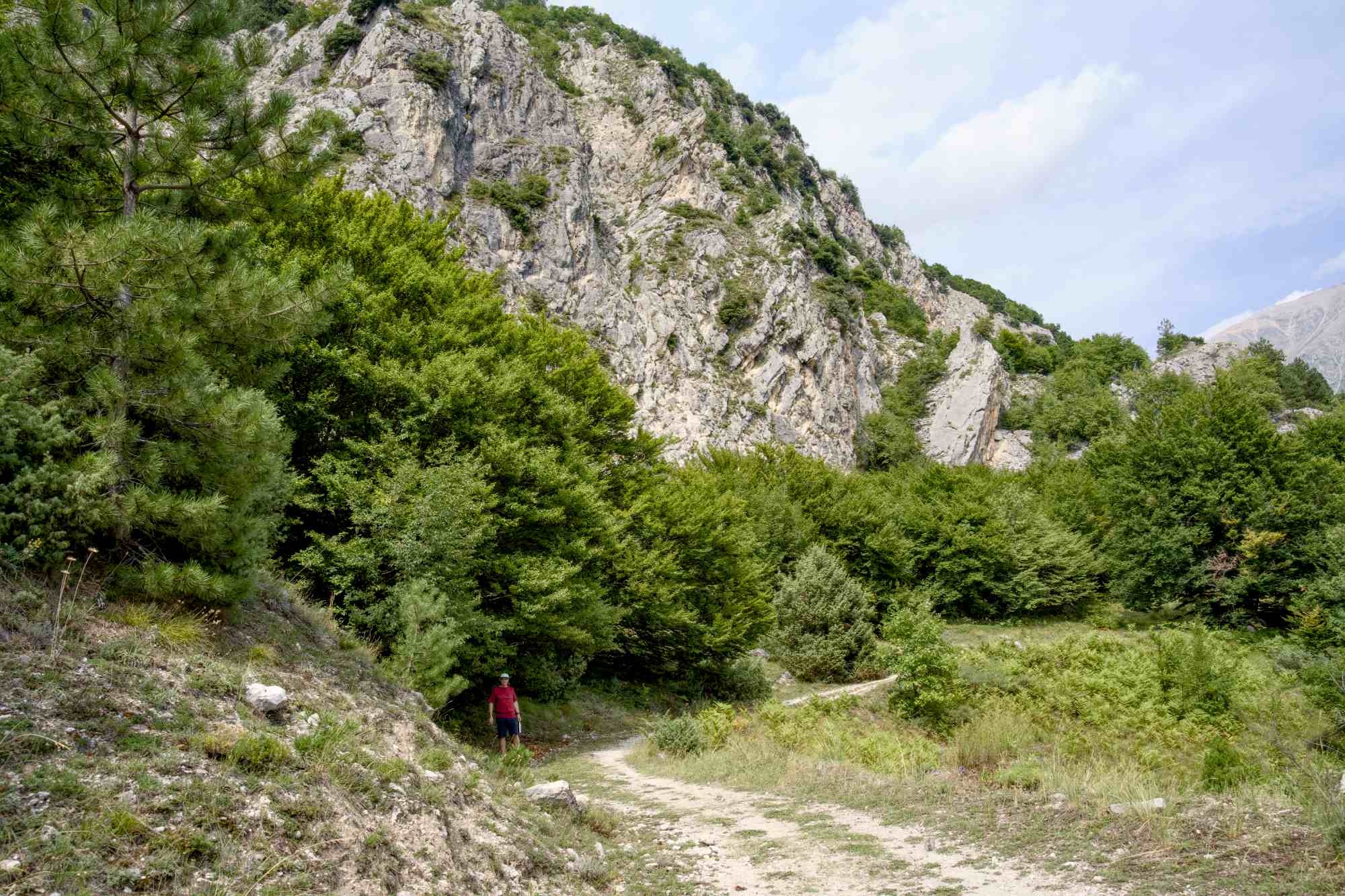
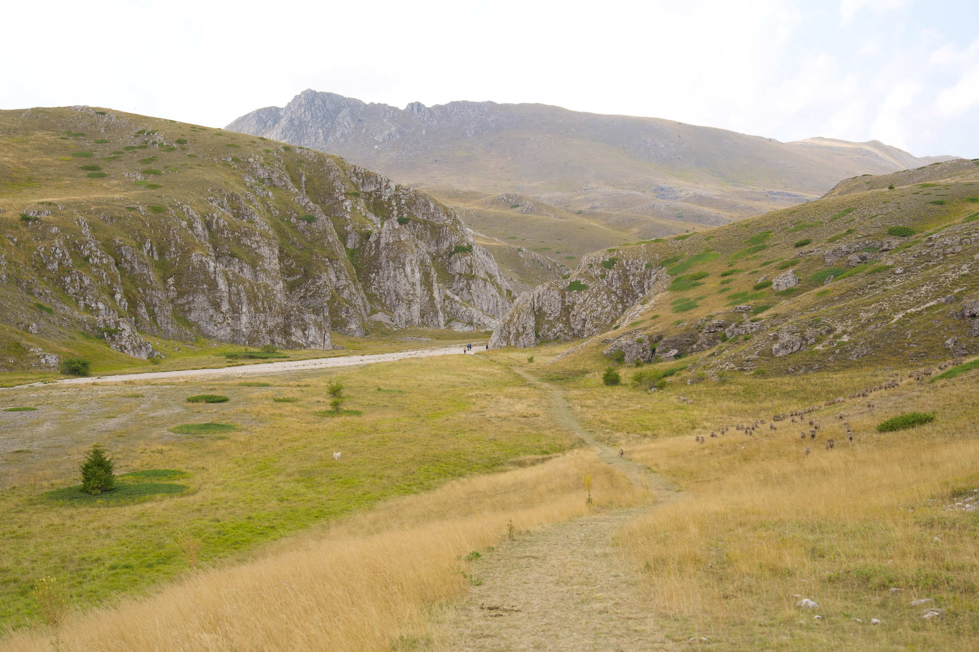
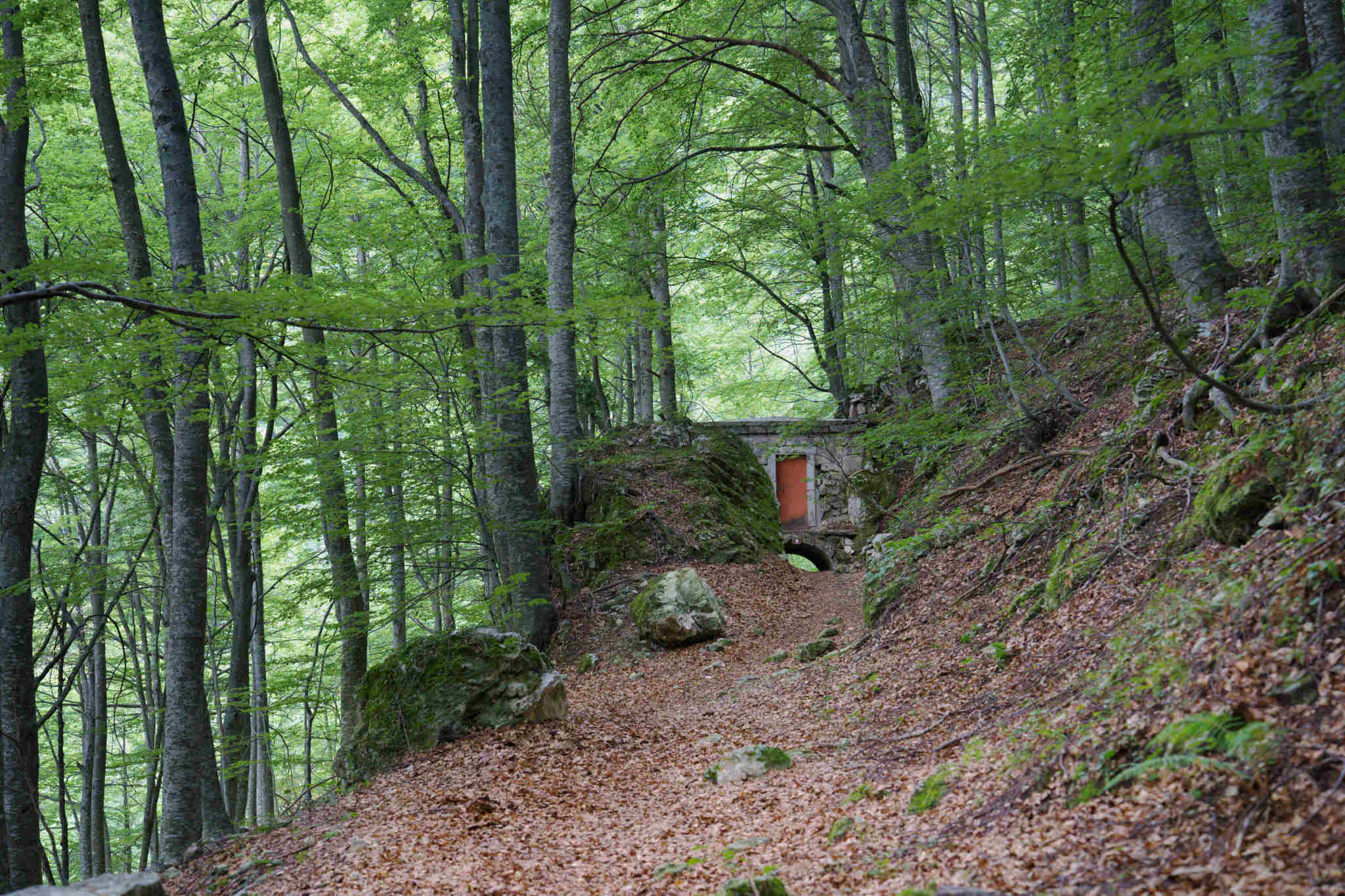
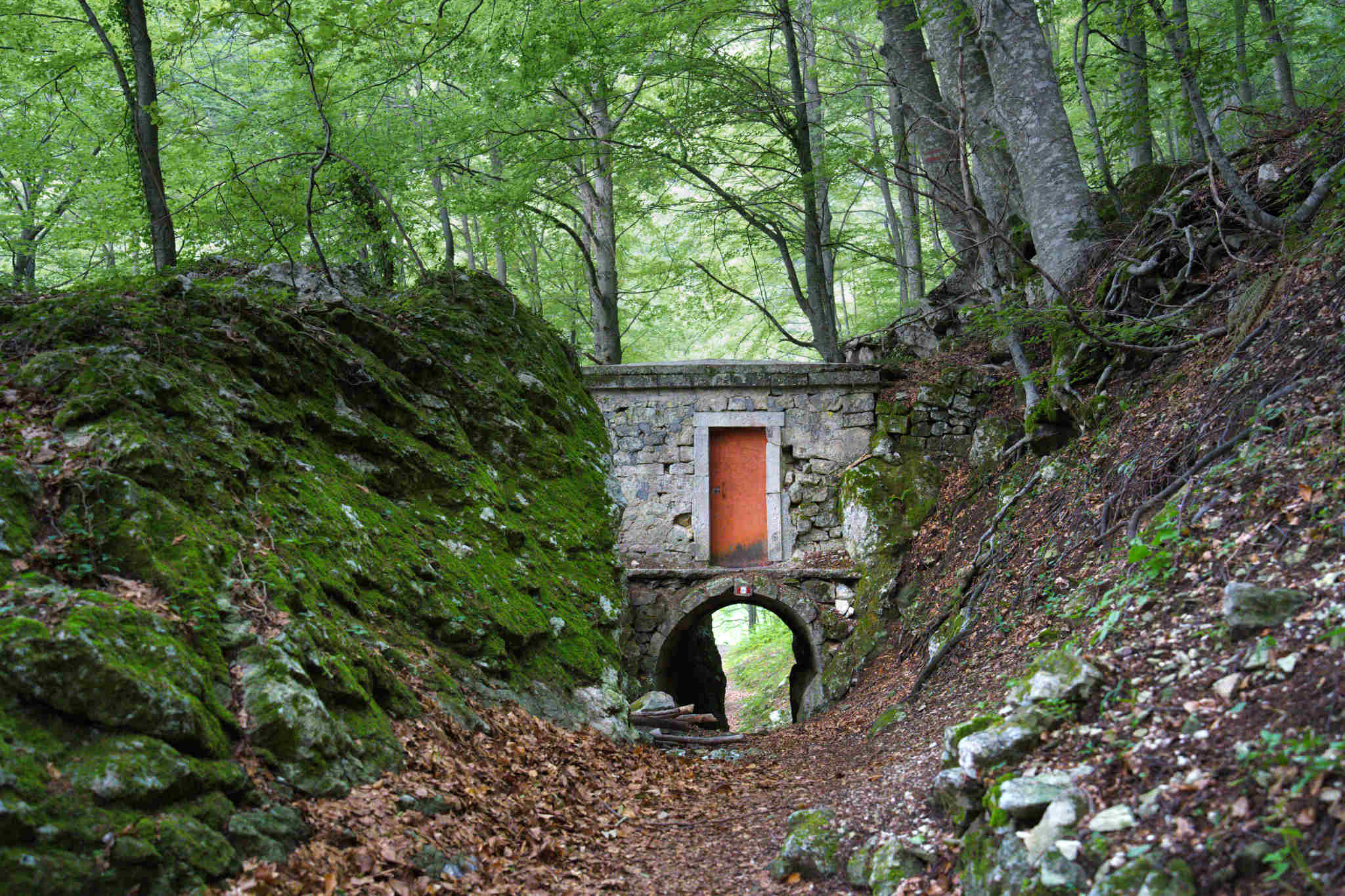
The description was fairly complex when you didn’t have a map, and I didn’t catch it all but we went up to the car park he had described and hoped to find the trail. As usual we didn’t find anything that fit the description! Instead we decided to go to the hermitage of San Bartolomeo in Legio which is close by and it’s quite well-known. I’ve seen posts about it on Facebook and have always thought it would be fantastic to visit, but would I ever be capable of doing the walk? The hermitage is a fascinating place, carved out in the mountain, and the walk there looks quite tricky on photos, but I’ve only heard of a trail going out from the village.
The walk started very easy with a nice gravel path that later started getting narrower, rockier and then turned to a steep downhill.
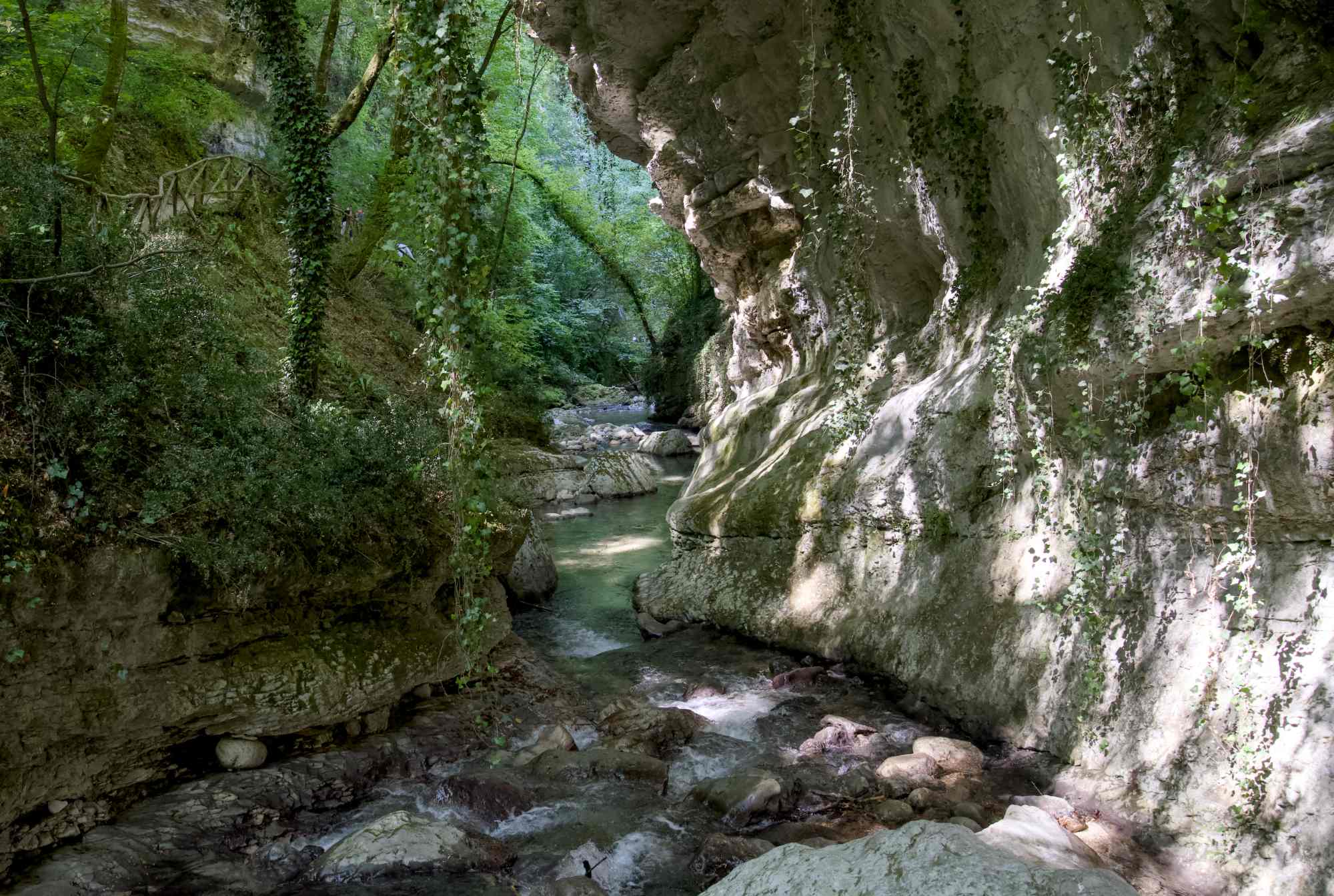
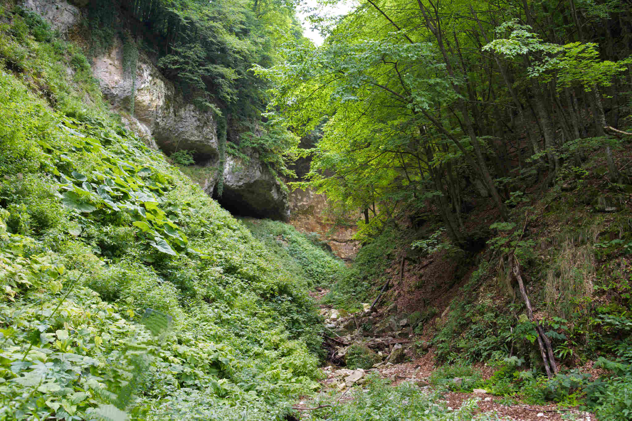
The rocky downhill part was hard but doable, and led down to the canyon. Fantastic views!
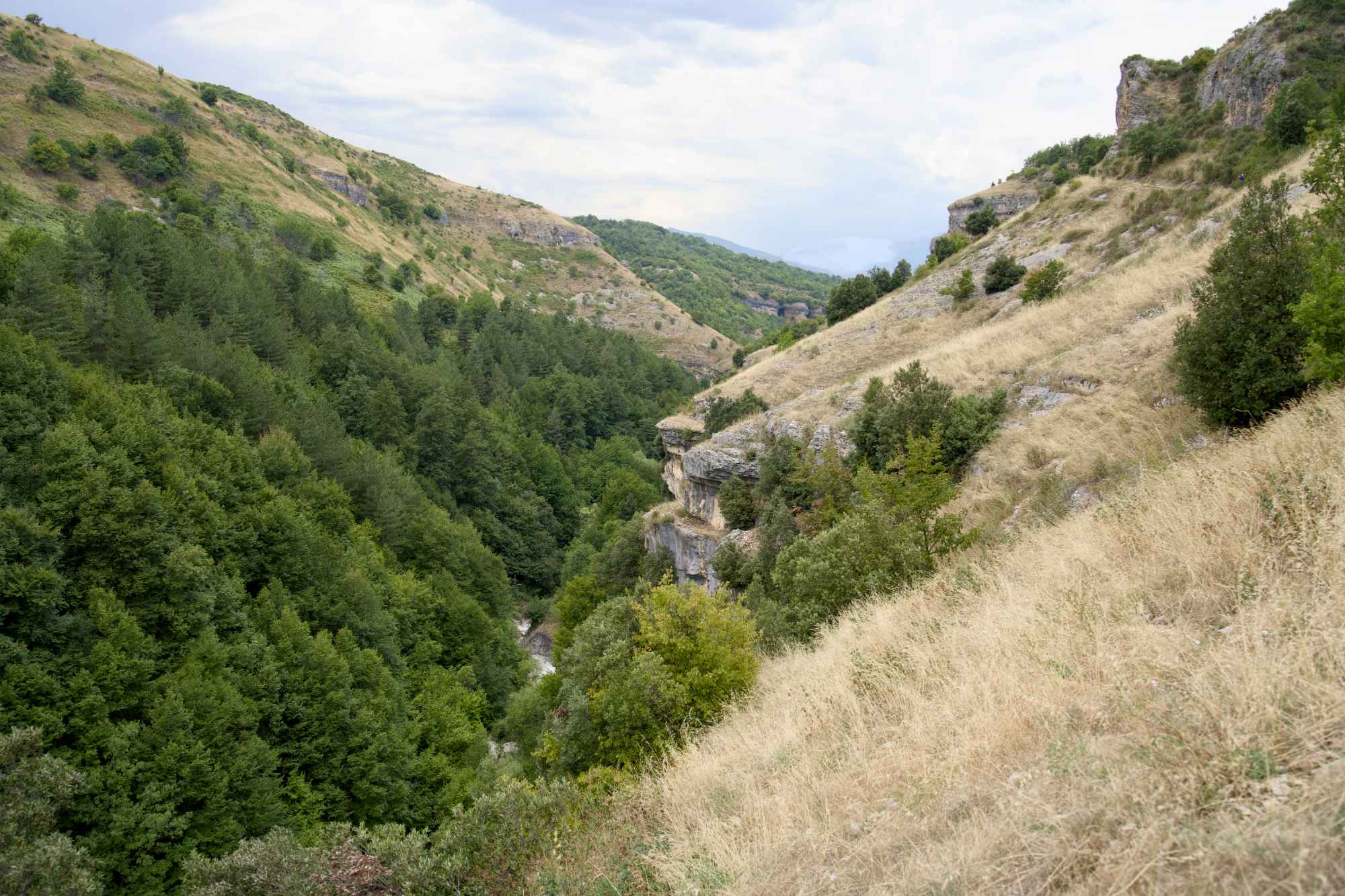
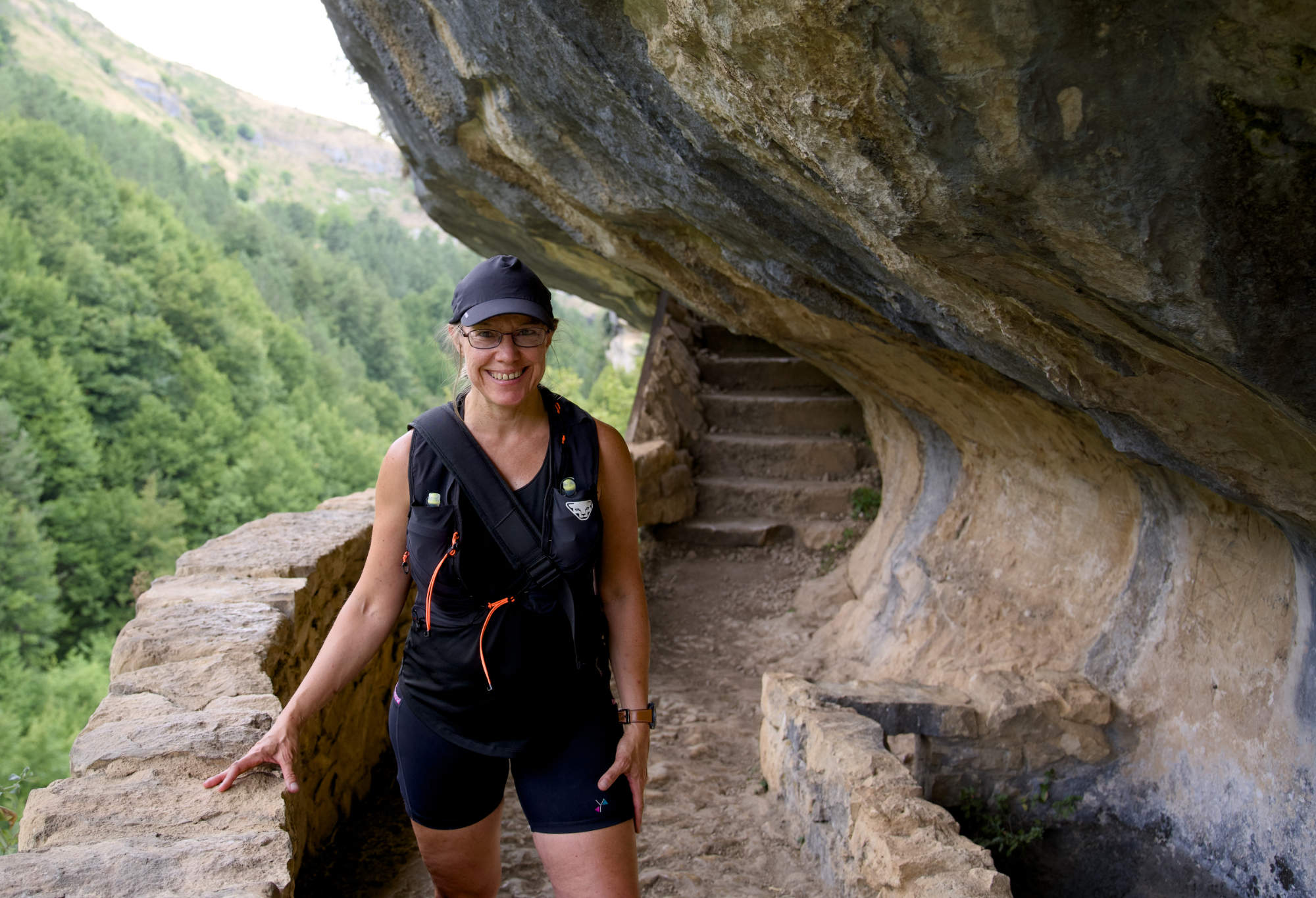
The path then continued down to the left on the side of the mountain. This kind of trail would have freaked me out in the past, but now I was totally fine with it.
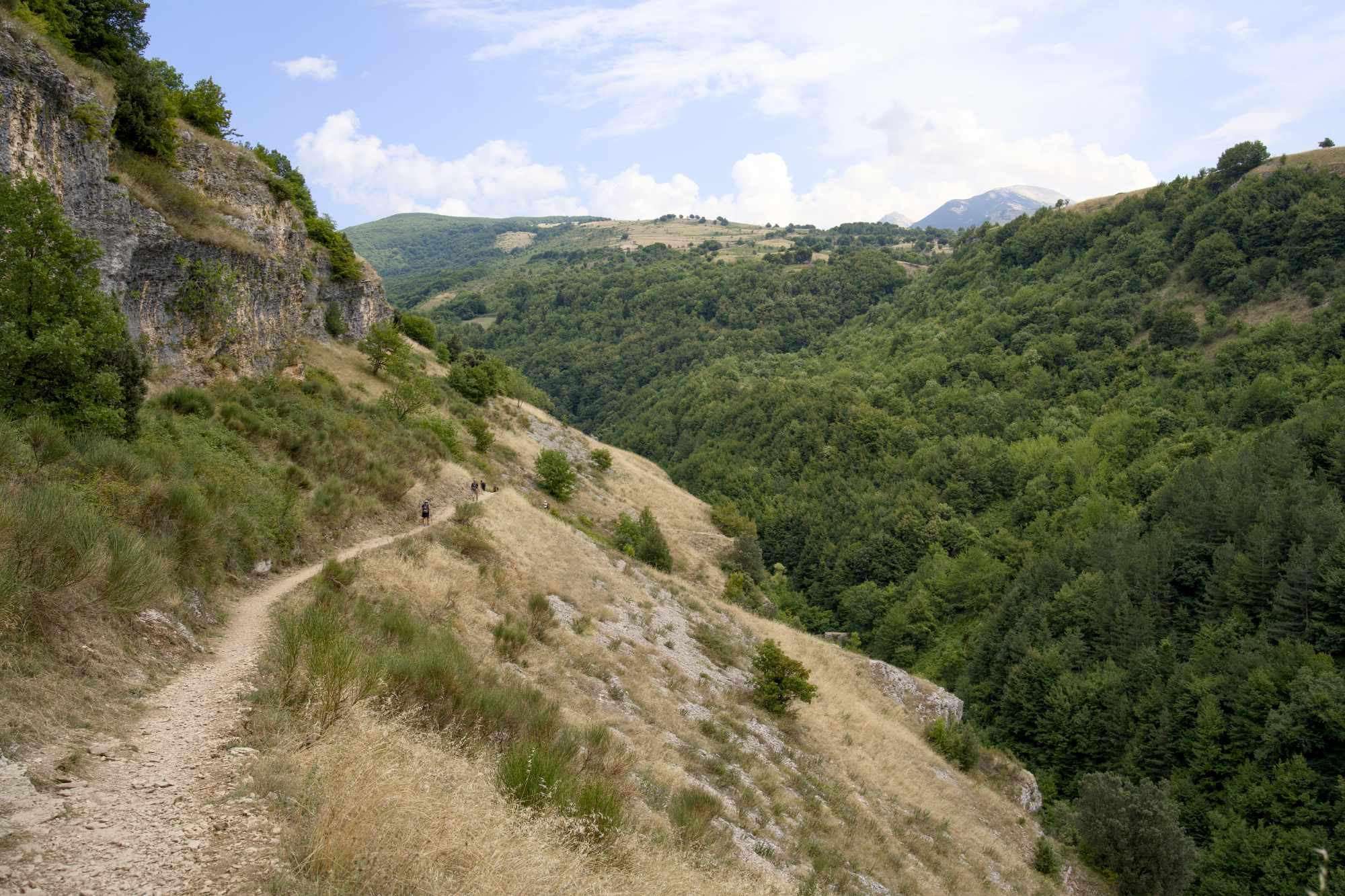
This beautiful trail continued around the corner and then started going downhill. The last part was TOUGH with a very steep rocky decline and then led down to some rounded, steep stone steps to get down to the actual hermitage. This wasn’t an easy walk but I managed to keep going and I made it!
You can walk to this hermitage from the village which is a longer walk of about 10 km. From the hermitage it looks like you can down here. I’m not sure if this is where the trail from the village comes up? It looks impossible to me but I’ll look up some further information about that route.
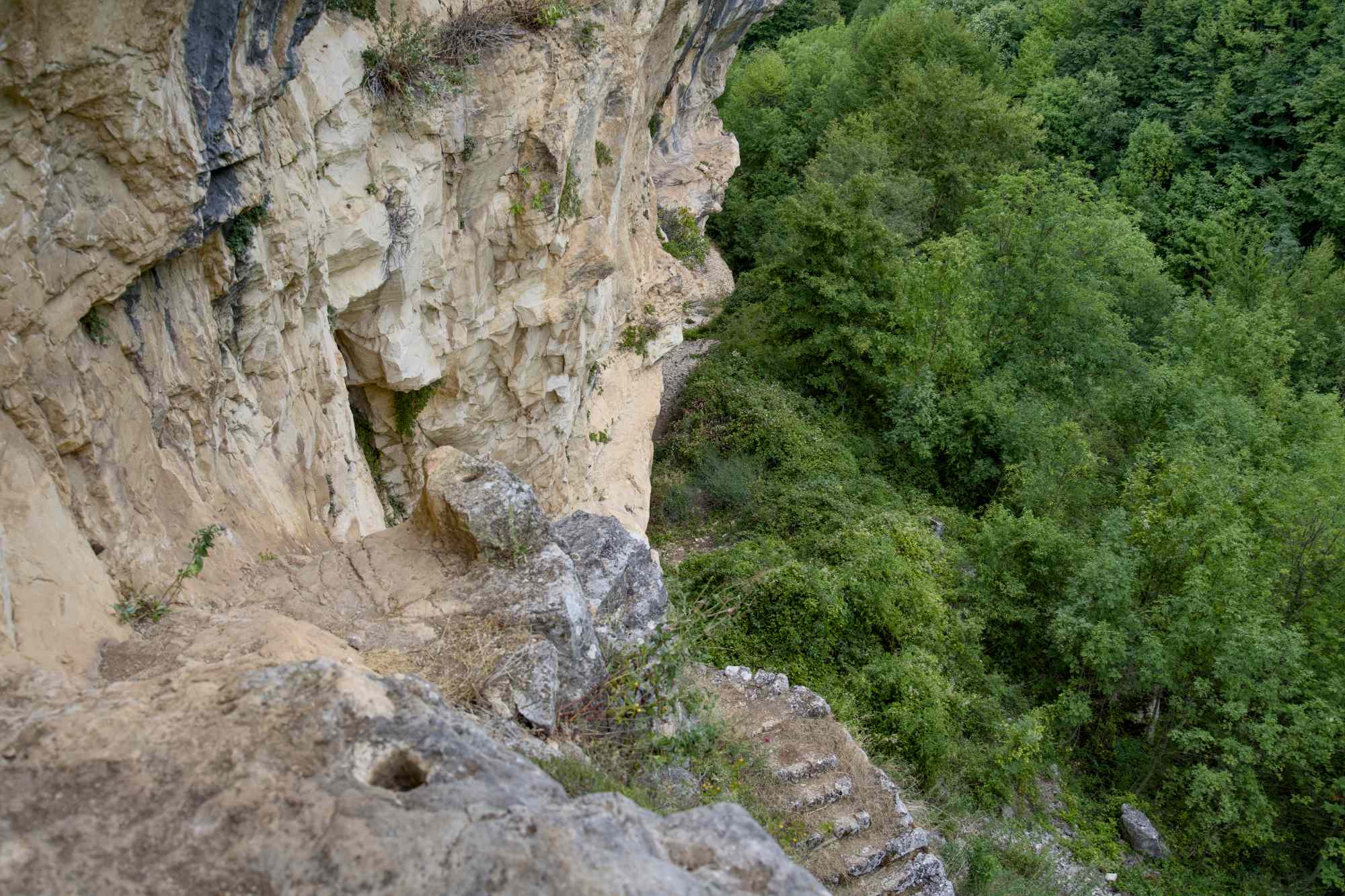
This walk was the most difficult and technical one, but I enjoyed it. The hardest part was to get back up on those stone steps (that you see behind me on the photo above) to get back on the trail – I basically crawled up because that felt like the safest way to get up. Everything else was fine, at least on the route from the car park.
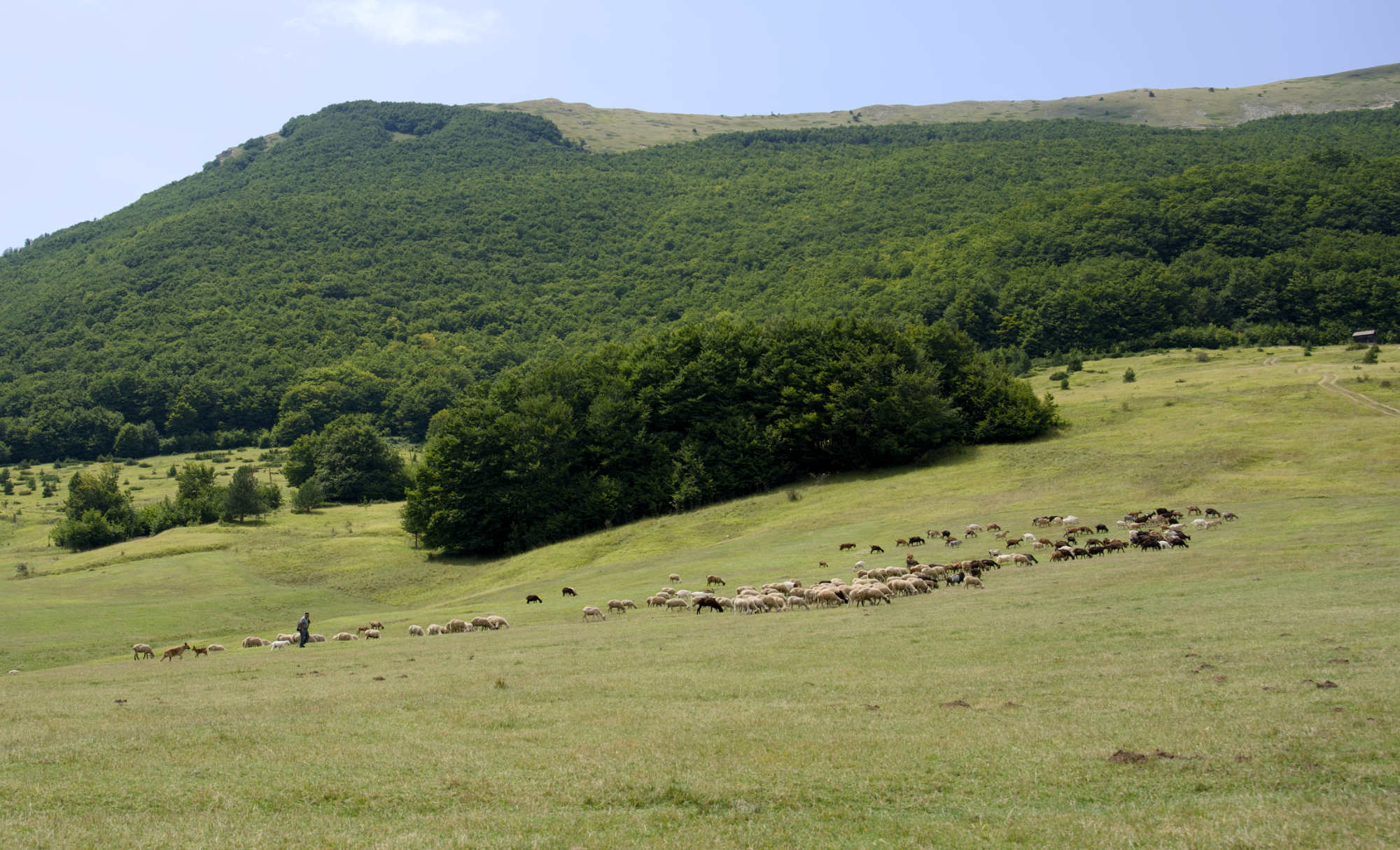
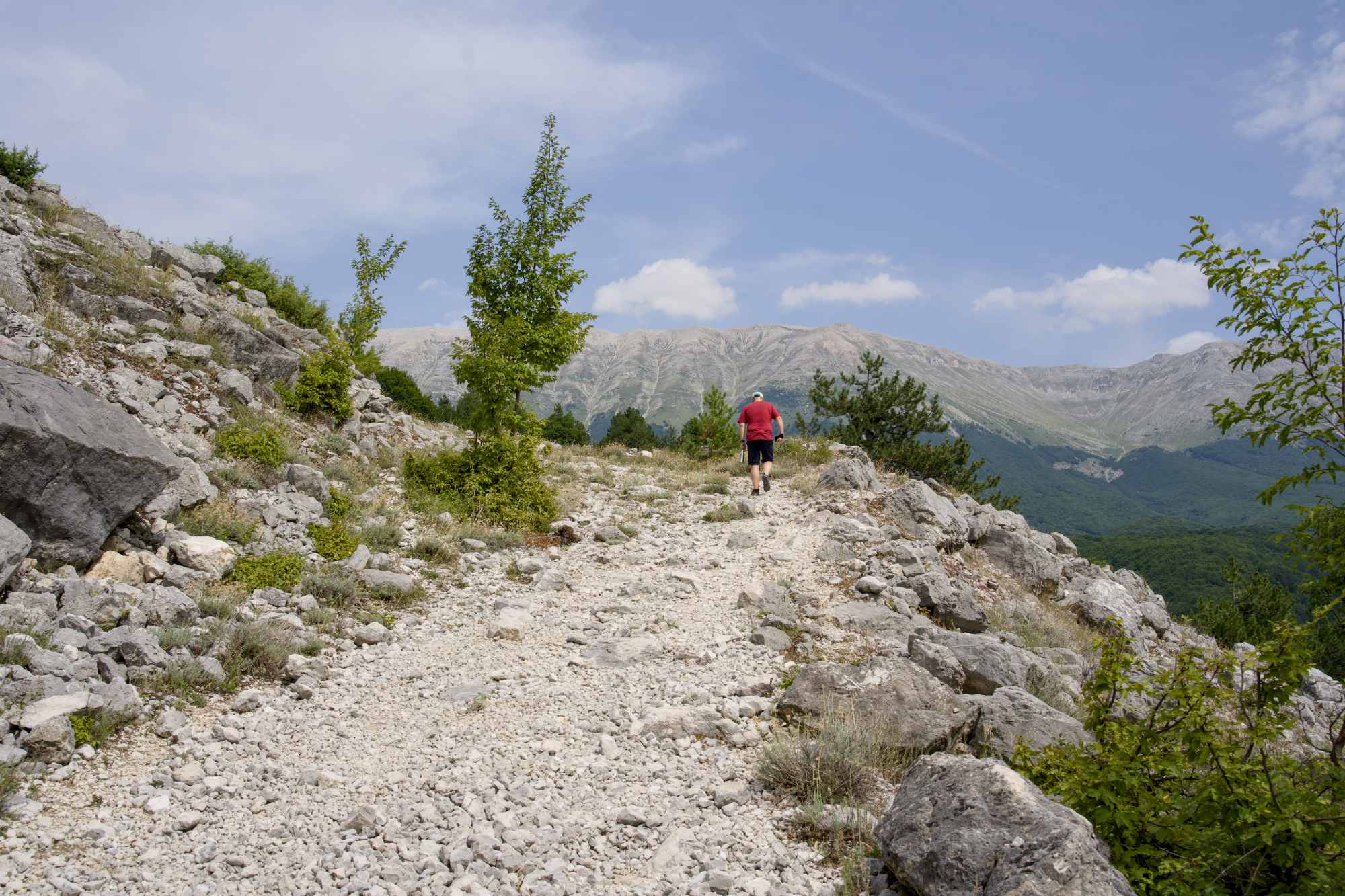
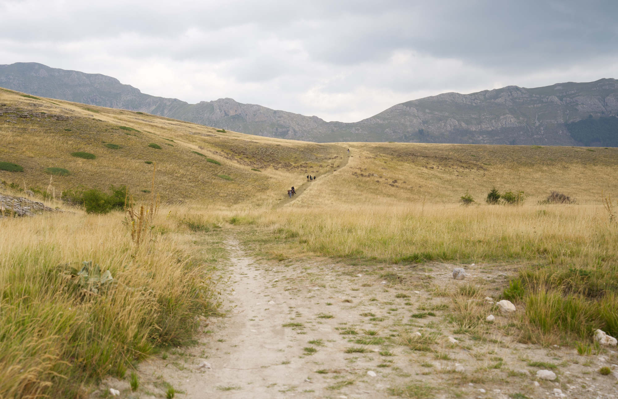
Passo San Leonardo towards Pacentro
The day after we felt good and ready to go hiking again, and headed to Passo San Leonardo. I had read there were some different trails going out, one of them would be a good enough distance and was supposed to be a loop.
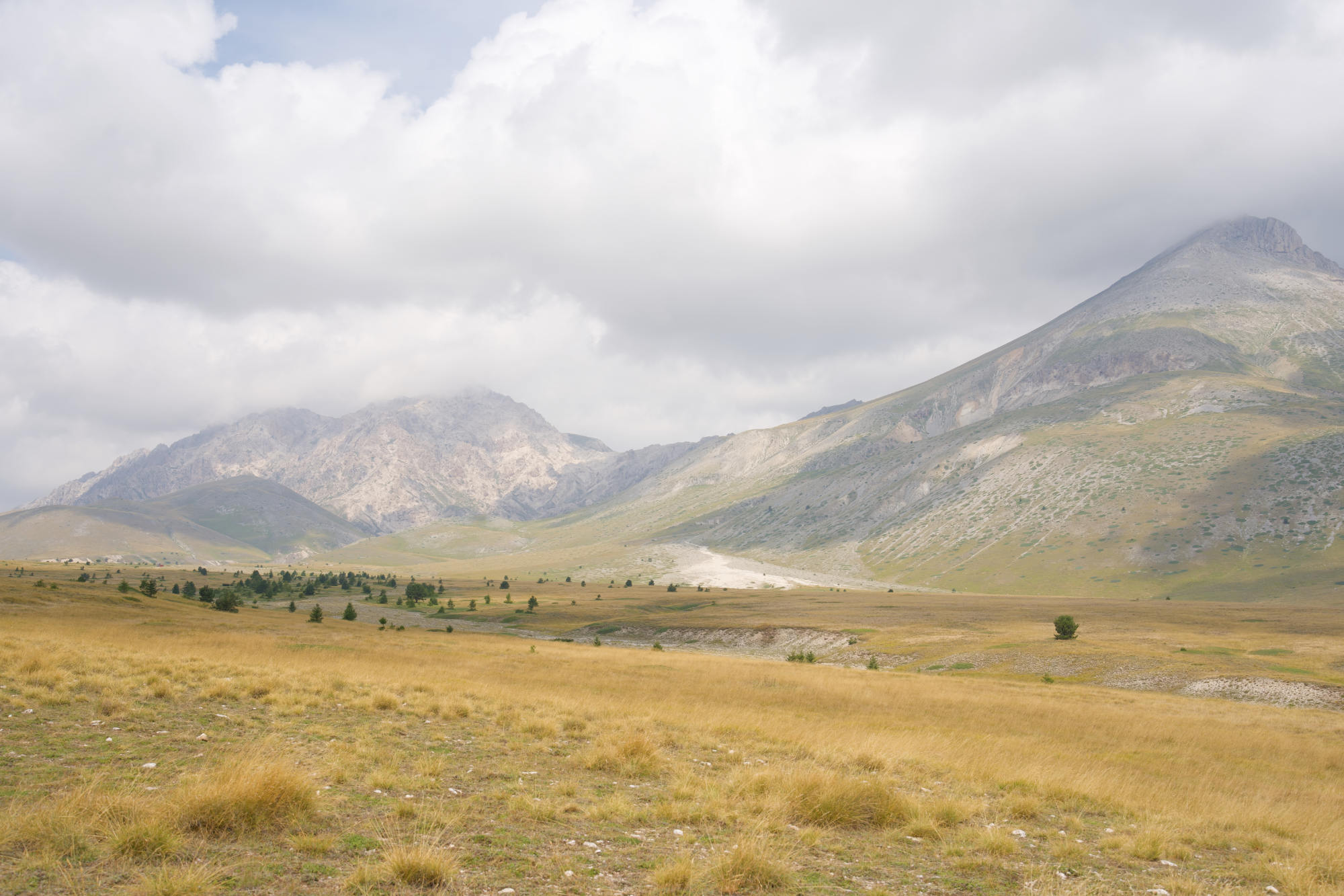
San Leonardo is in the same area as Roccacaramanico but further up the mountain. It used to be a skiing resort, now the hotel is closed down and I don’t know if people still go there for skiing. It’s a beautiful place though with green pastures and various hiking trails.
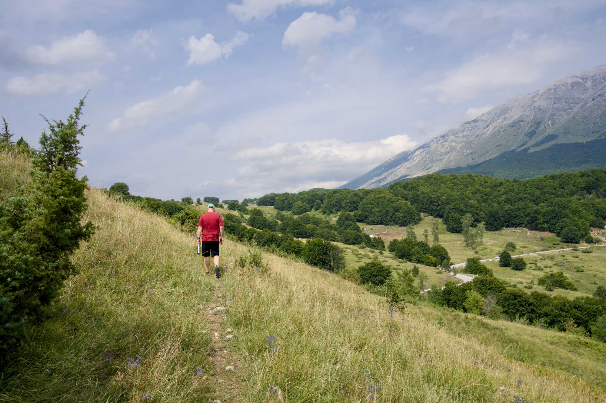
No surprise, I didn’t find the loop! There may have been trails starting on the other side of the road but I only saw a cow’s pasture there. We went in the other direction behind the hotel and chose a trail that would lead all the way to the next village (Pacentro). It would be a bit too far for us but we figured we could at least walk part of it and then turn back.
The trail led over some meadows and went slightly downhill with a quite rocky but easy trail. I loved the views. So peaceful!
After a while we came to a flatter part where the trail became wider and rockier, and later started going downhill – and continued downhill. We both agreed it would be nice to go a bit further and see if we could see Pacentro. Many times we said to each other “Should we turn back? No, let’s continue another little bit.”
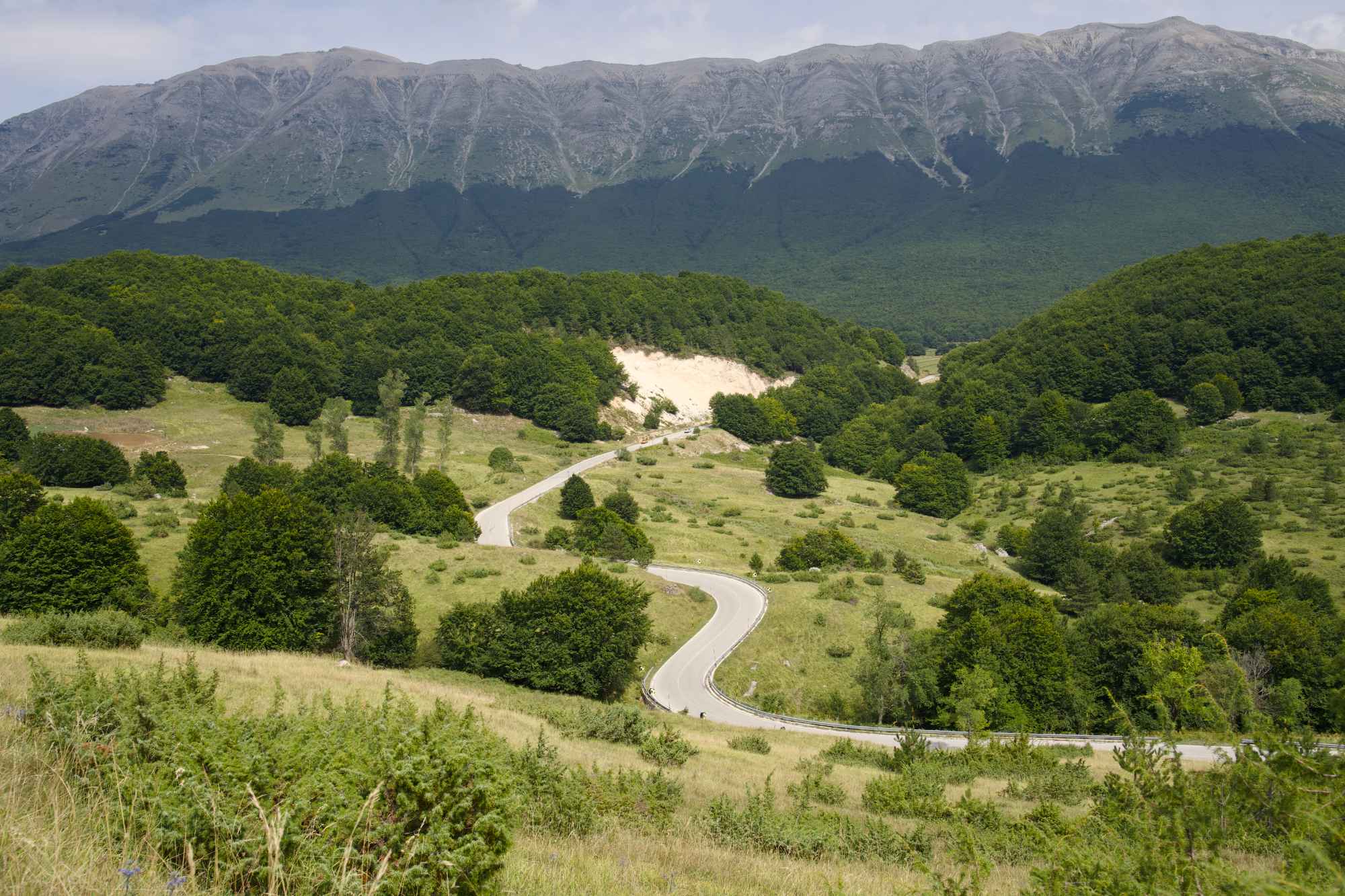
Then when we thought we were getting close and would be able to at least see the village, we came out on the main road! What disappointment! We didn’t even see the trail continue, perhaps you need to walk on the road for a bit (I’ll check this on a map later). We turned back there since we didn’t plan to do the full walk that day anyway.
The uphills on the way back were absolutely brutal. The heat was very intense with maybe 36C, and it didn’t help that we started to run out of water. We were feeling good but it always worries me to be exposed in that kind of heat with no water! I had my last bottle of water with electrolytes and sipped carefully on that on the way back. We were very thankful for the small forest areas!
Getting back to the meadows meant we were getting closer to the car… and the other water bottles.
We didn’t go the route we had planned but San Leonardo delivered. We’ll be back, whether it’s to do that loop or the full route to Pacentro.
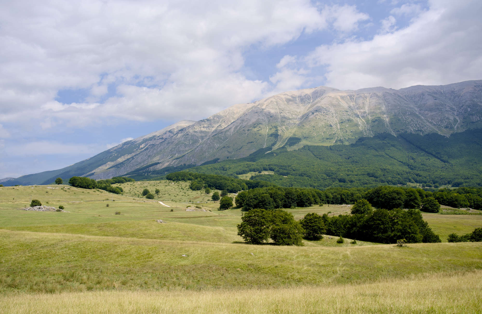
Campo Imperatore
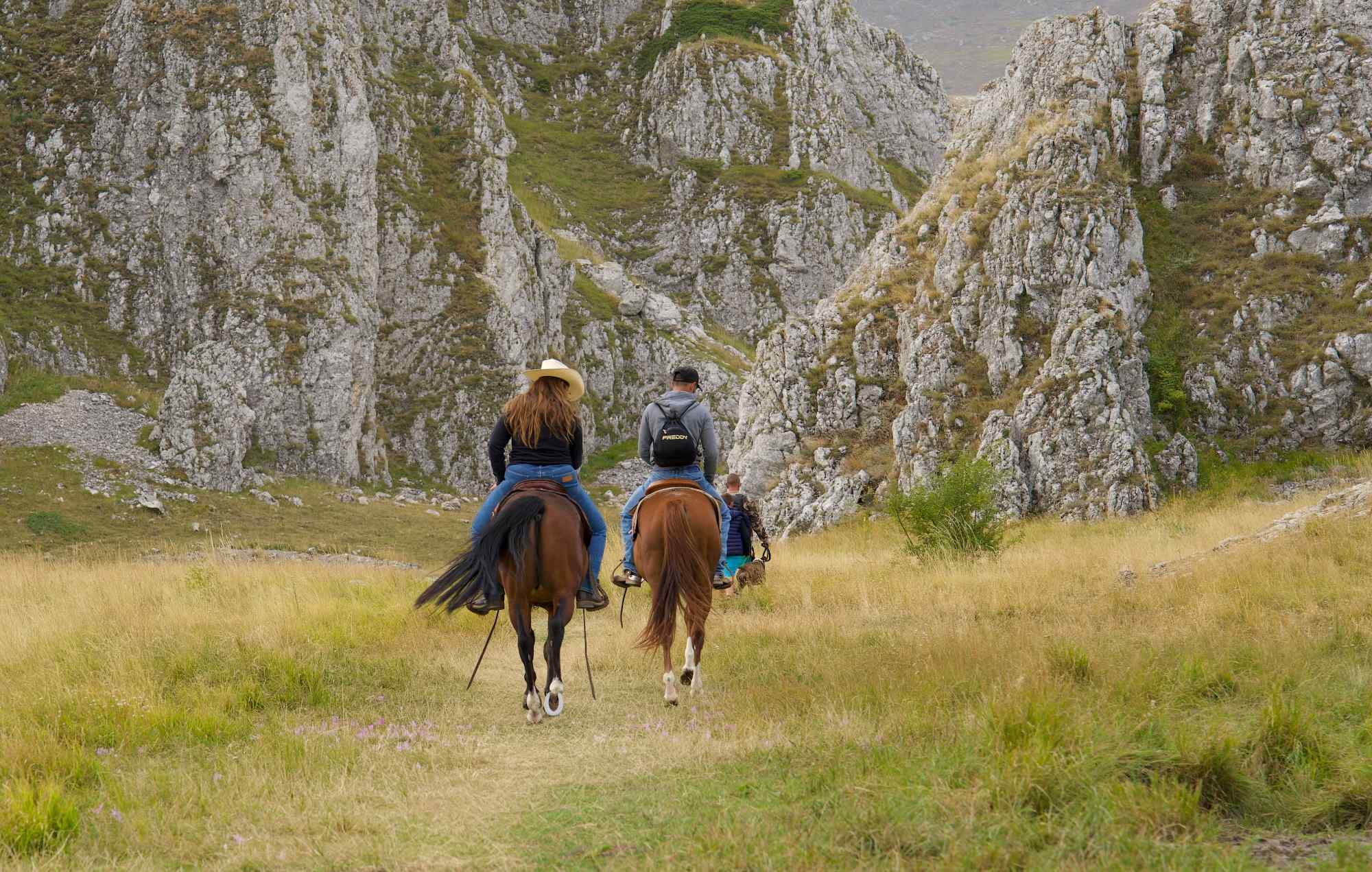
The day after we went in the other direction up towards the Gran Sasso. We both needed to rest our legs a bit from steep hills. My husband was going for a soft run and needed to find a flat area. The only place I could think of was Campo Imperatore. It’s a plateau near the peaks of Gran Sasso with walking trails, skiing areas, an observatory, hotel and much more. It’s a spectacular place also called Little Tibet for the particular landscape, and home to various species of plants.
I went for a walk while my husband went for his run, and we decided to meet by the car after an hour. I enjoyed a pleasant walk over the hills, passed by the famous monument and came across some horse riders. It was only 19C and cloudy – almost cold!
The Asinara waterfall (or the lack thereof)
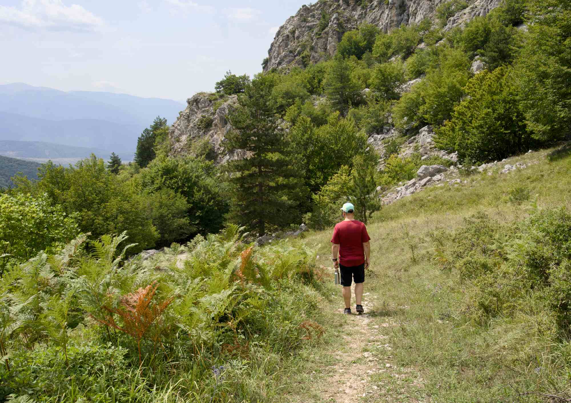
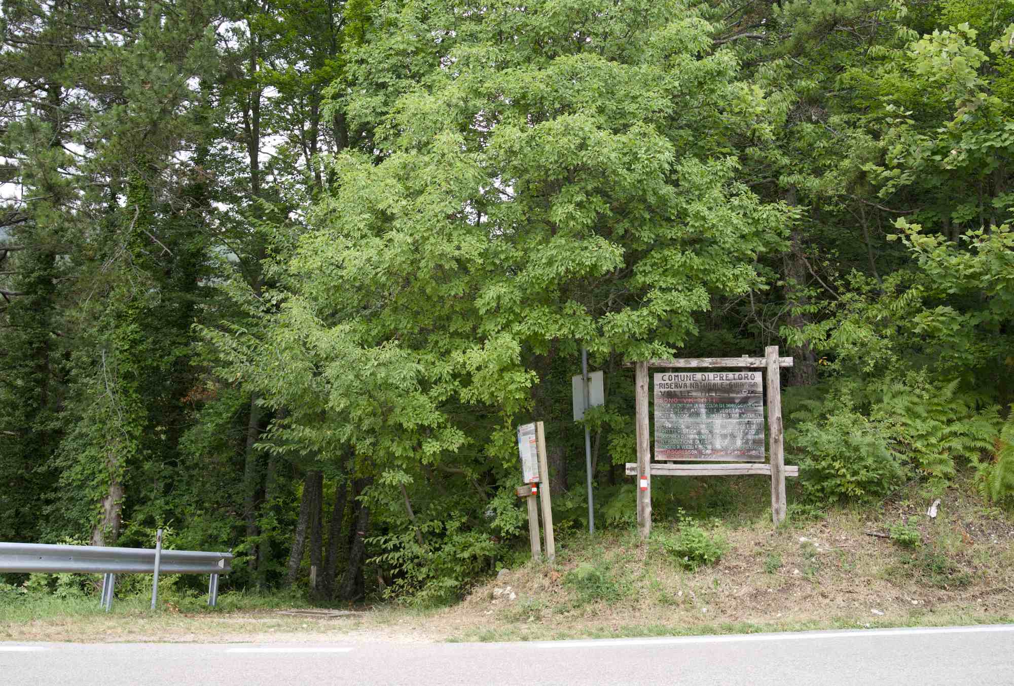
I wanted to go to another area where we don’t travel much, the Chieti side of Abruzzo. I found a forest where there would be a 4-5 km walk to a waterfall. It’s up on the mountain between the village Pretoro and the skiing resort Passo Lanciano, the latter is known for a specific feature – you can go downhill skiing with a sea view! At least I think that’s really cool.
At this point I had started using the Komoot app where you can find trails in specific areas and get the GPS coordinates to where the trail starts. Great news for us!!! We easily found a small car park up the hill from Pretoro, and on the other side of the road there was an information board and the entrance to the forest. Easy, for once!
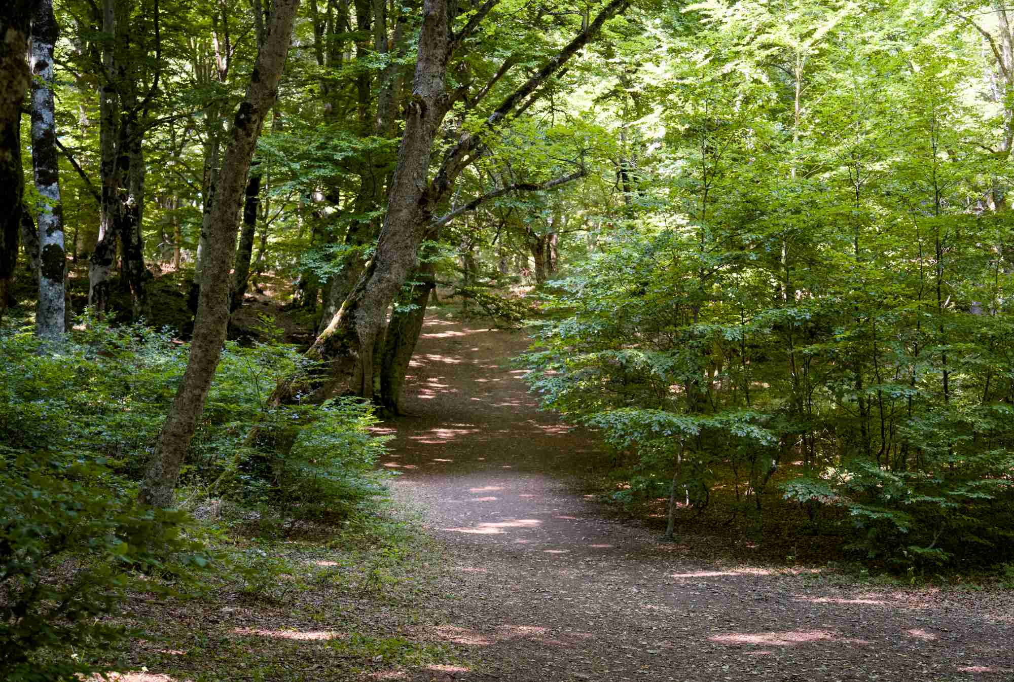
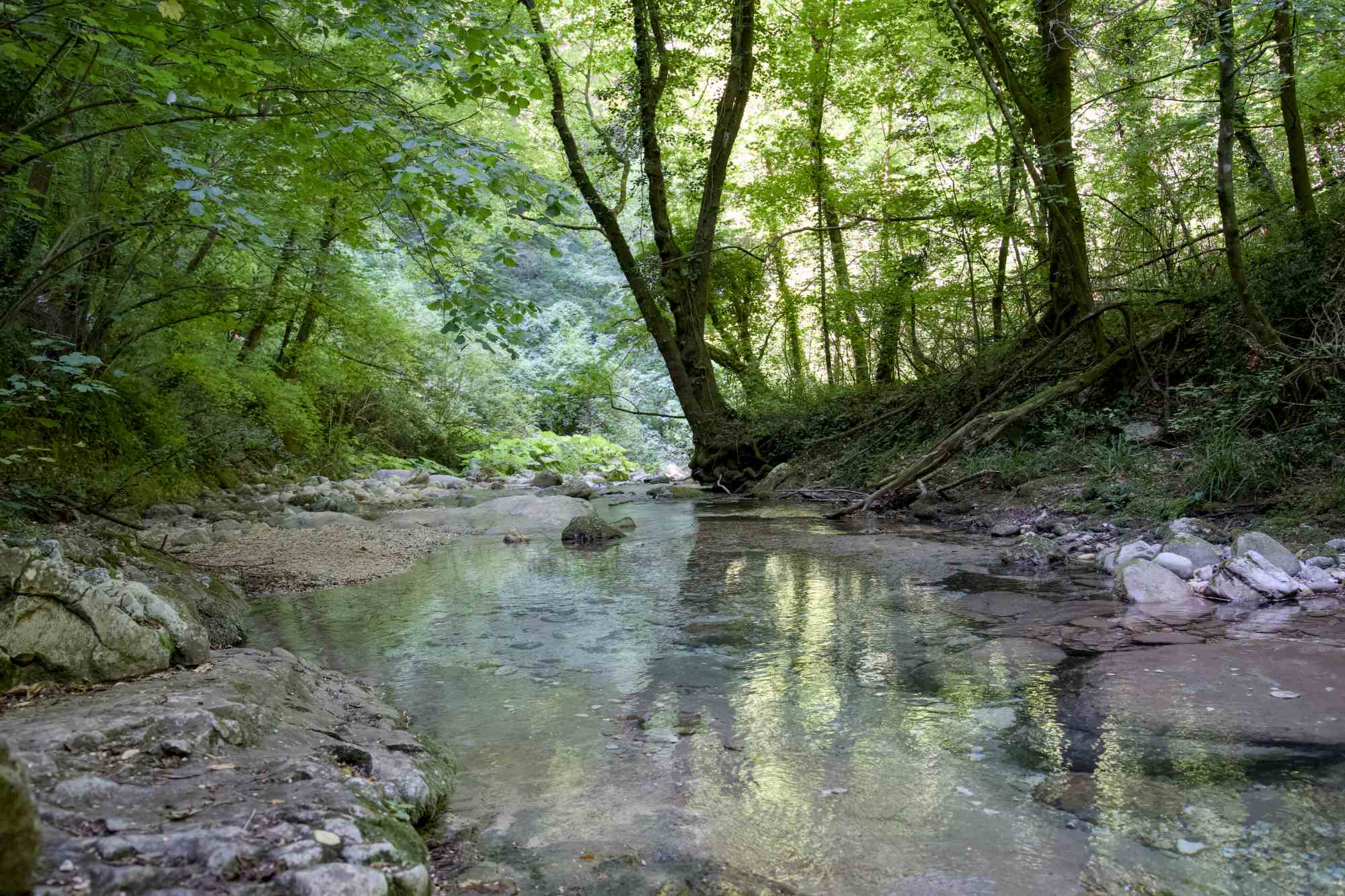
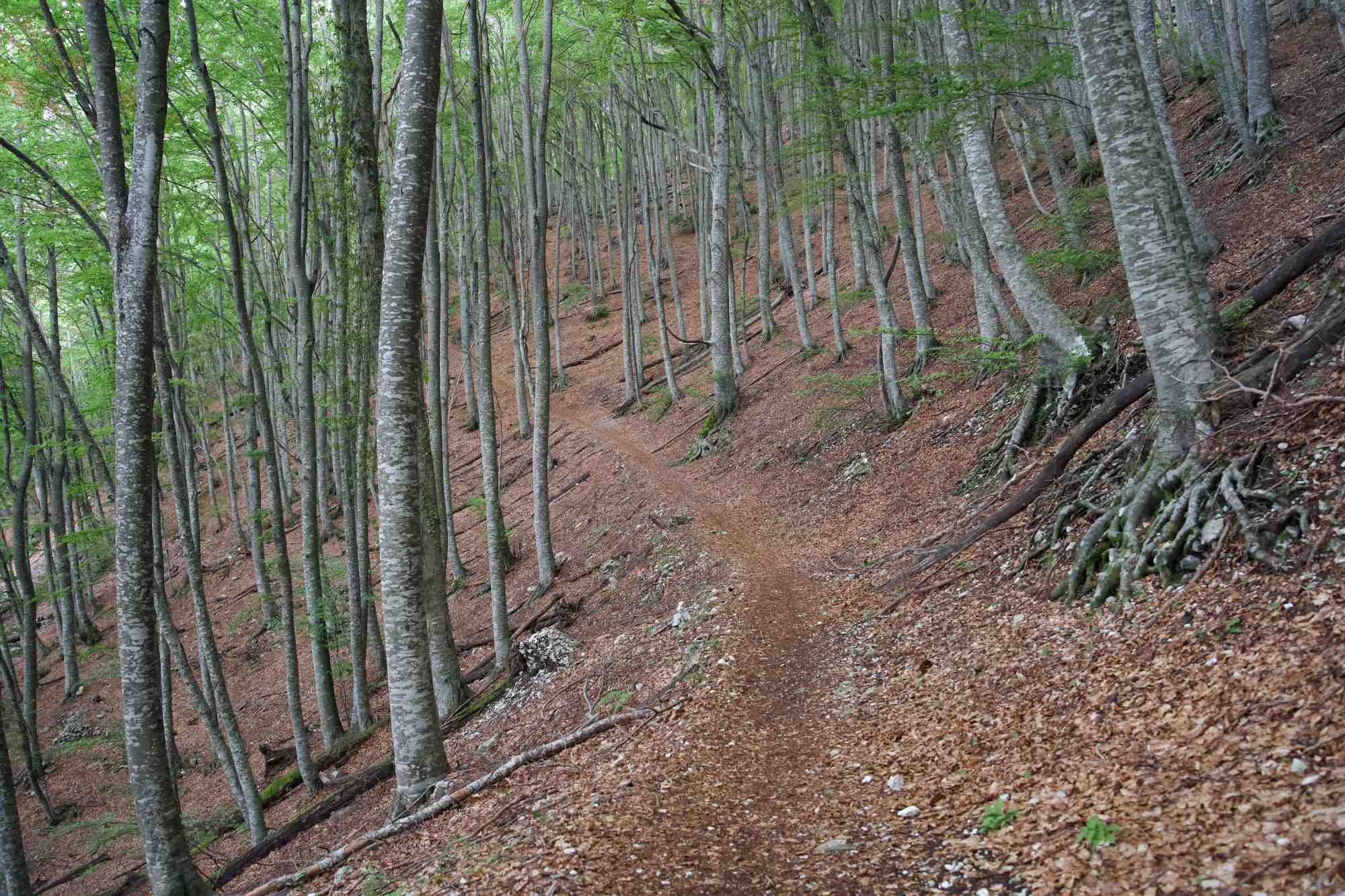
The waterfall was dry, but it was a stunning walk through a beautiful beech forest, much of it by the side of the mountain.
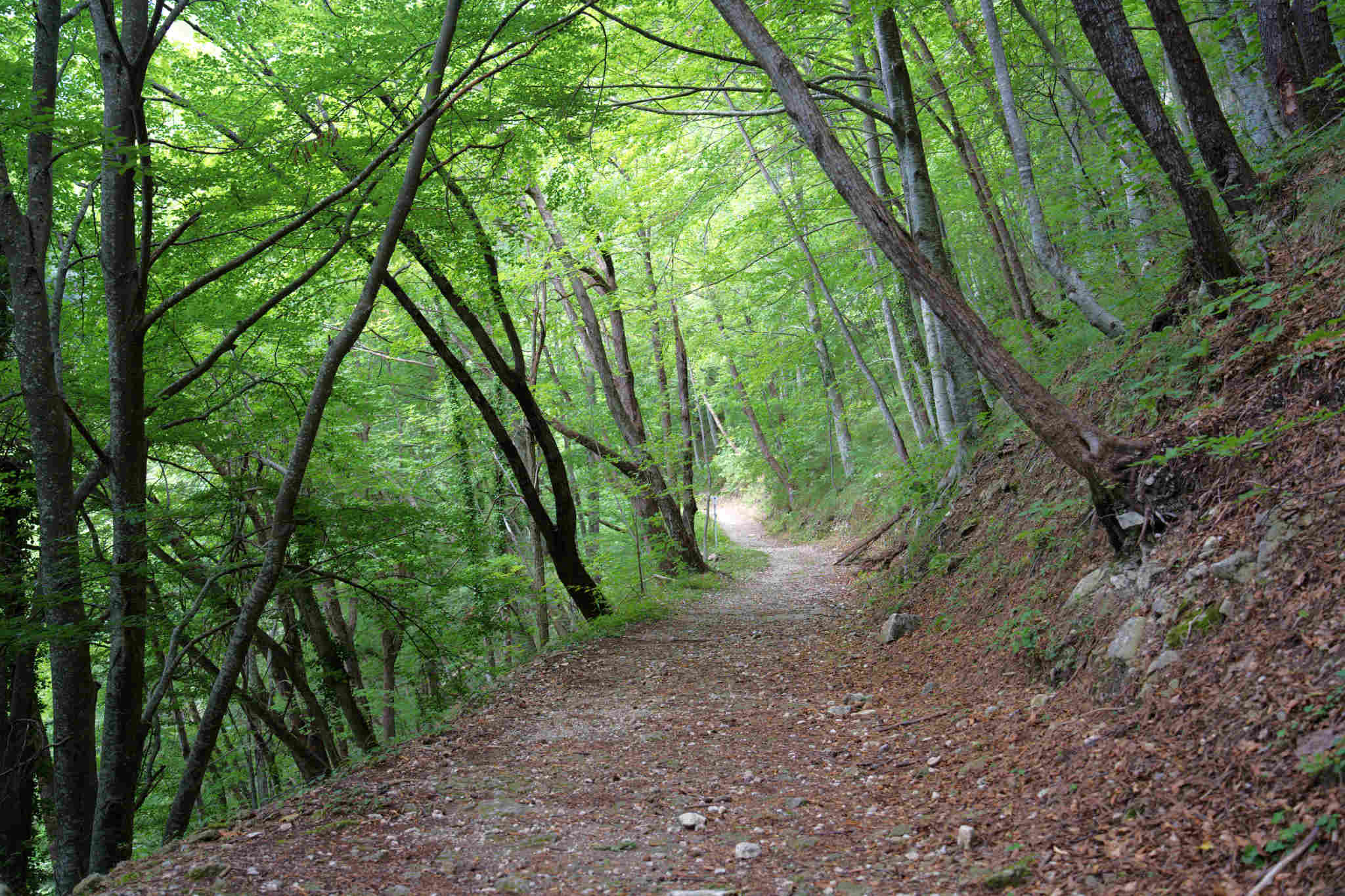
The trail was easy-going but with some steep uphills and a quite significant drop on one side of the trail, but with the forest on both sides, this wasn’t a problem.
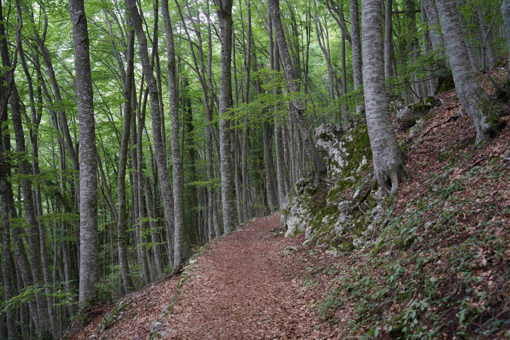
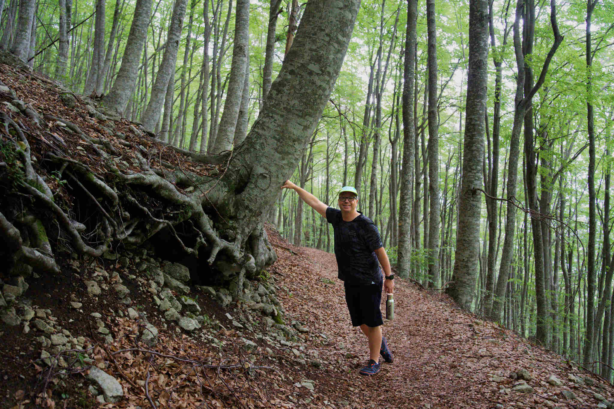
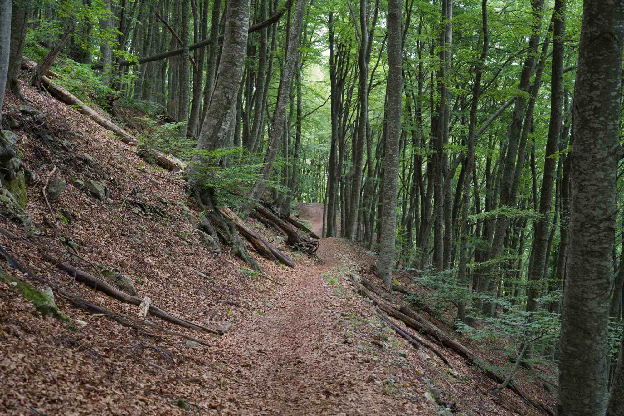
This was absolutely beautiful, and I wish it could have been longer! But this type of forest is very common in these areas, so similar trails aren’t hard to find – actually the Bosco di Lama Bianca where we hiked last year is very similar.
Next year I hope we can do some longer hikes. I want to get on the more interesting trails, and they’re always longer than I felt comfortable with this year. My priority is to keep training, build more strength and ramp up my walking distances, preferably on trails or at least rougher terrain than ordinary roads.
And, of course we’ll move on with the lessons we learned this year. Better planning, getting info from the right sources, looking up exact locations of trailheads, getting maps, and I’l pack my shoes myself!
I’m linking this post with the Wednesday words & whimsy link-up hosted by Min of Write of the middle.


Leave a Reply to Leanne | www.crestingthehill.com.au Cancel reply
You may comment in English, Swedish or Italian.