You may know I got a foot injury from hiking, but how was the actual hike?
Before our trip to Italy, I sat down to look up good hiking trails that would suit both myself and my husband – with my history with hiking and a huge desire to find the “perfect trail”, it wasn’t easy! But I found a few good options and even if some of them had some potentially tricky parts, I thought they would work and I also promised myself to get my ***** together and not chicken out too easily.
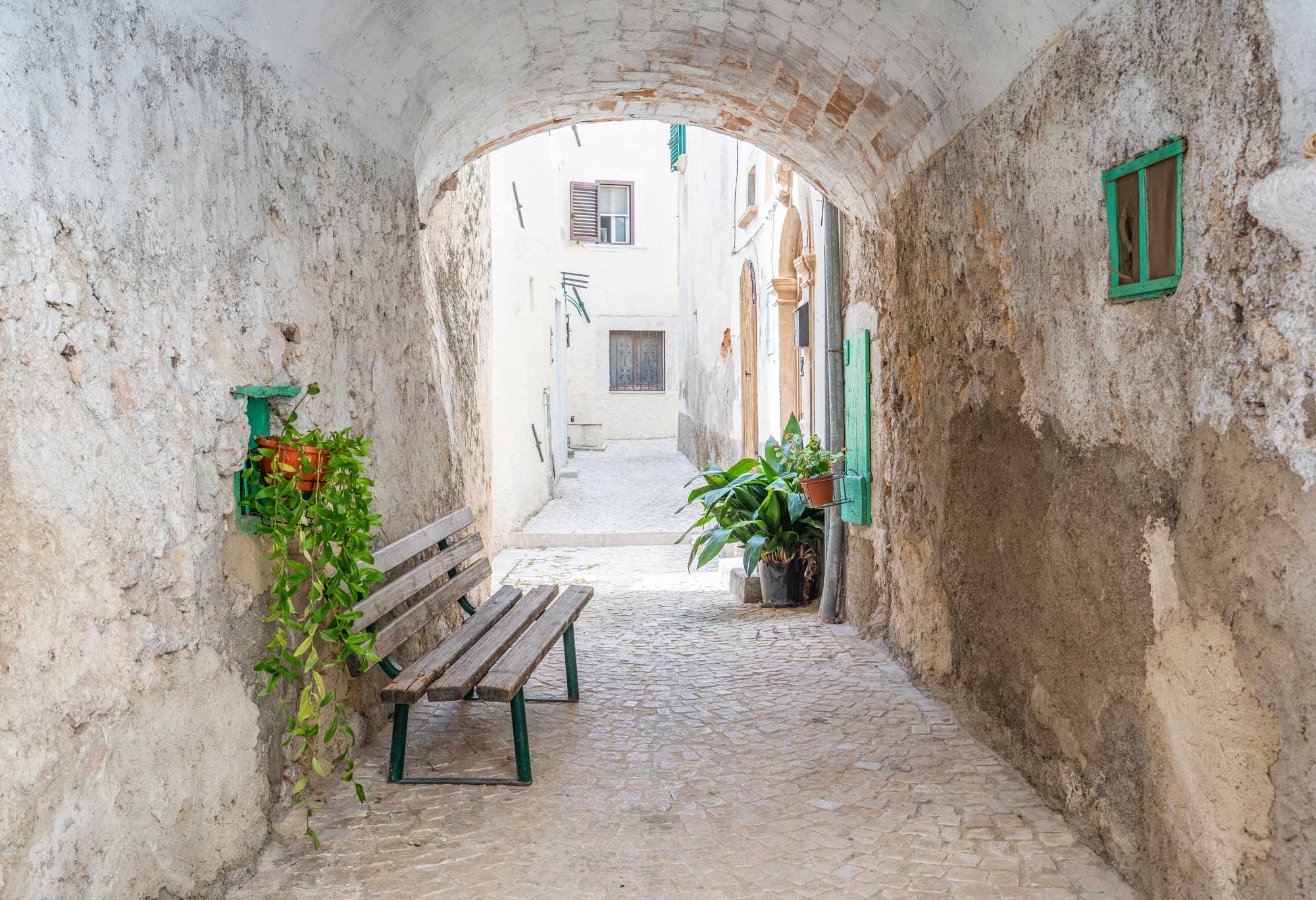
Our go-to region in Italy is Abruzzo. It has everything – sea, mountains, forests, towns/cities, small rural villages (some of them awarded in “Borghi più belli d’Italia”), farmlands, food, wine, festivals…. and a fantastic natural beauty.
We’ve been going to Abruzzo most years since 2010, and since 2013 we stay in the same place, an agriturismo (b&b type of place at a farm, where we rent an apartment) about 20 km inland from Pescara, in the middle of the olive oil belt in a small town called Pianella. From there everything is close enough and the people who own the agriturismo have become good friends of ours. We’ve explored the region a lot over the years and found some favourite places that we always tend to go back to, but there are many places further away that we still haven’t seen since we prefer to do day trips.
I found a very promising nature reserve near Roccacaramanico in the Majella national park, Bosco di Lama Bianca. It’s a vast beech forest, named from the light-coloured rock of the Majella mountain. This area is home to a variety of wildlife and plants, and has some good easy set-up trails but also some trickier routes, and if you want you can go the more strenuous expert route up to Monte Amaro.
From what I had read, there would be a small road up to the nature reserve, and at the end of the road there would be a small car park at the start of the trails. Coming from down the valley on the eastern side, you drive up the hill through Caramanico Terme towards Sant’ Eufemia and Passo San Leonardo, and a few km after the crossroad leading to Roccacaramanico, there’s this small road going up to the left. This was easy to find.
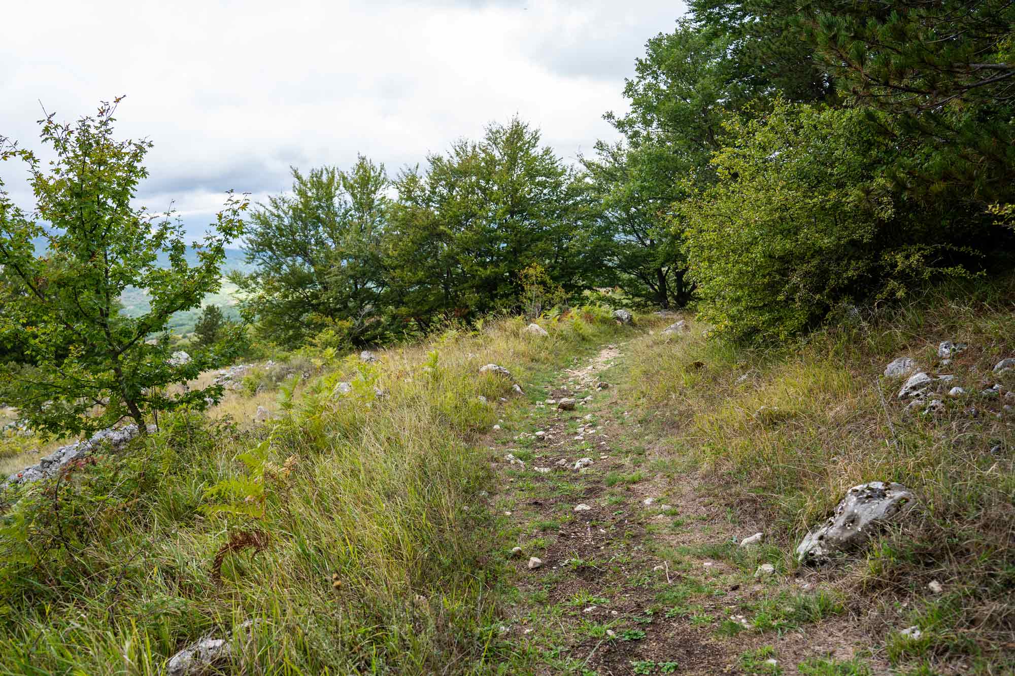
We had chosen a moderately difficult trail which was supposed to start at a spot called Fonte di Lama Bianca. We drove until the road ended, parked the car, but really only saw a small trail going down to the left, without seeing anything that looked like a fountain, or any indication we were in the right spot. We didn’t see the start of any other trails either! At least there was signposts indicating the trail B4, which was our chosen trail, so we went down there hoping for some more directions further on. Perhaps this was the exit of the trail? I still don’t know, and I’ve been studying maps and websites afterwards but still haven’t found any indication of where we should have gone.
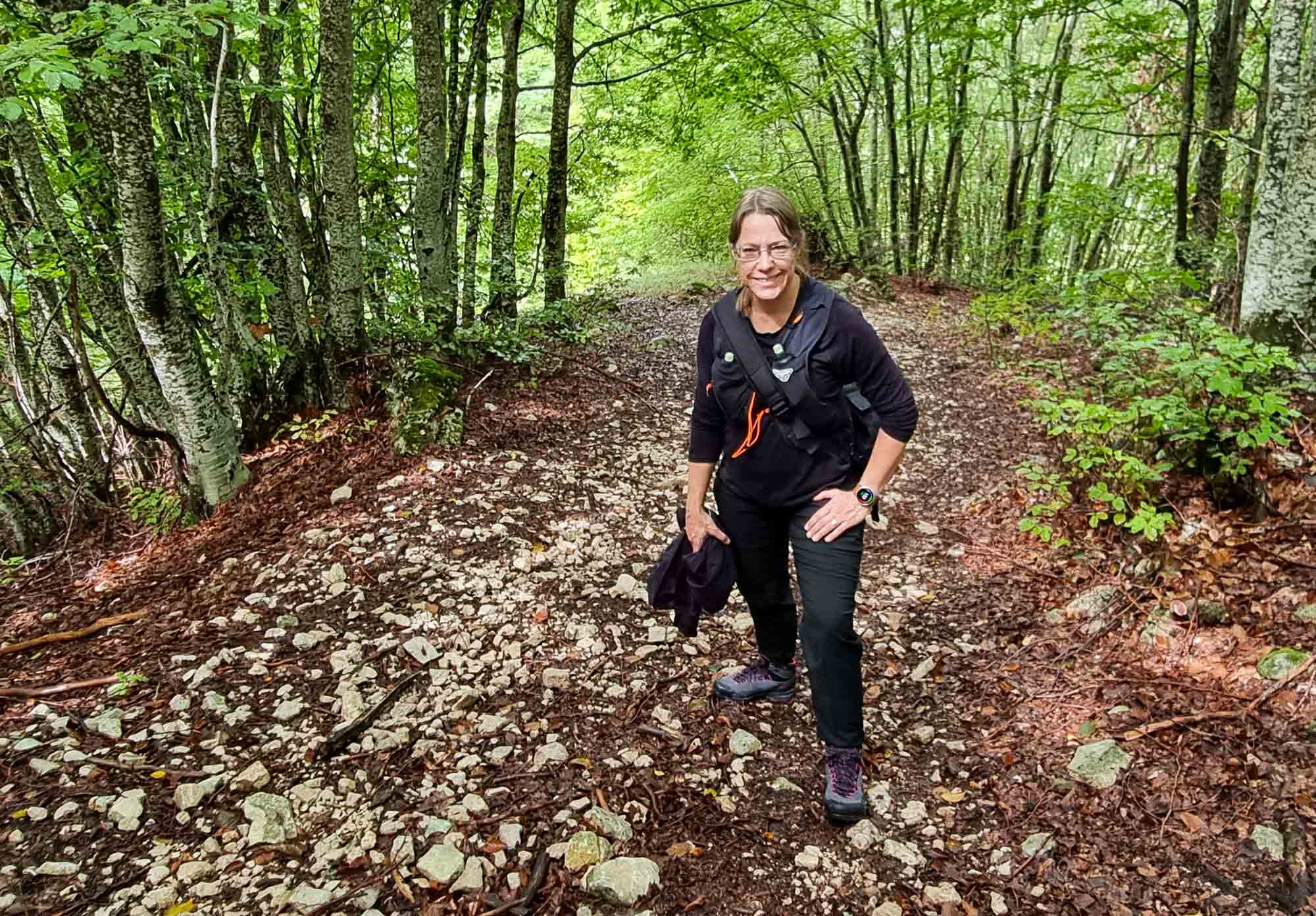
It started with a tricky, rocky downhill that took us into the forest and along the side of the mountain, eventually we came to a flatter path through the forest. The weather was still nice, cloudy and maybe 15C, and despite some hard parts along the way, it was a lovely walk.
The signposting continued being confusing, we knew we were on the B4 trail but that was it! My husband got some directions from an app he had downloaded to his phone, and through that we found a way to sort of know where we were, but we never passed any of the spots that you’re “supposed to” pass along this trail. On some websites, it seems like there are two different B4 trails, but this doesn’t seem to be the case on maps…
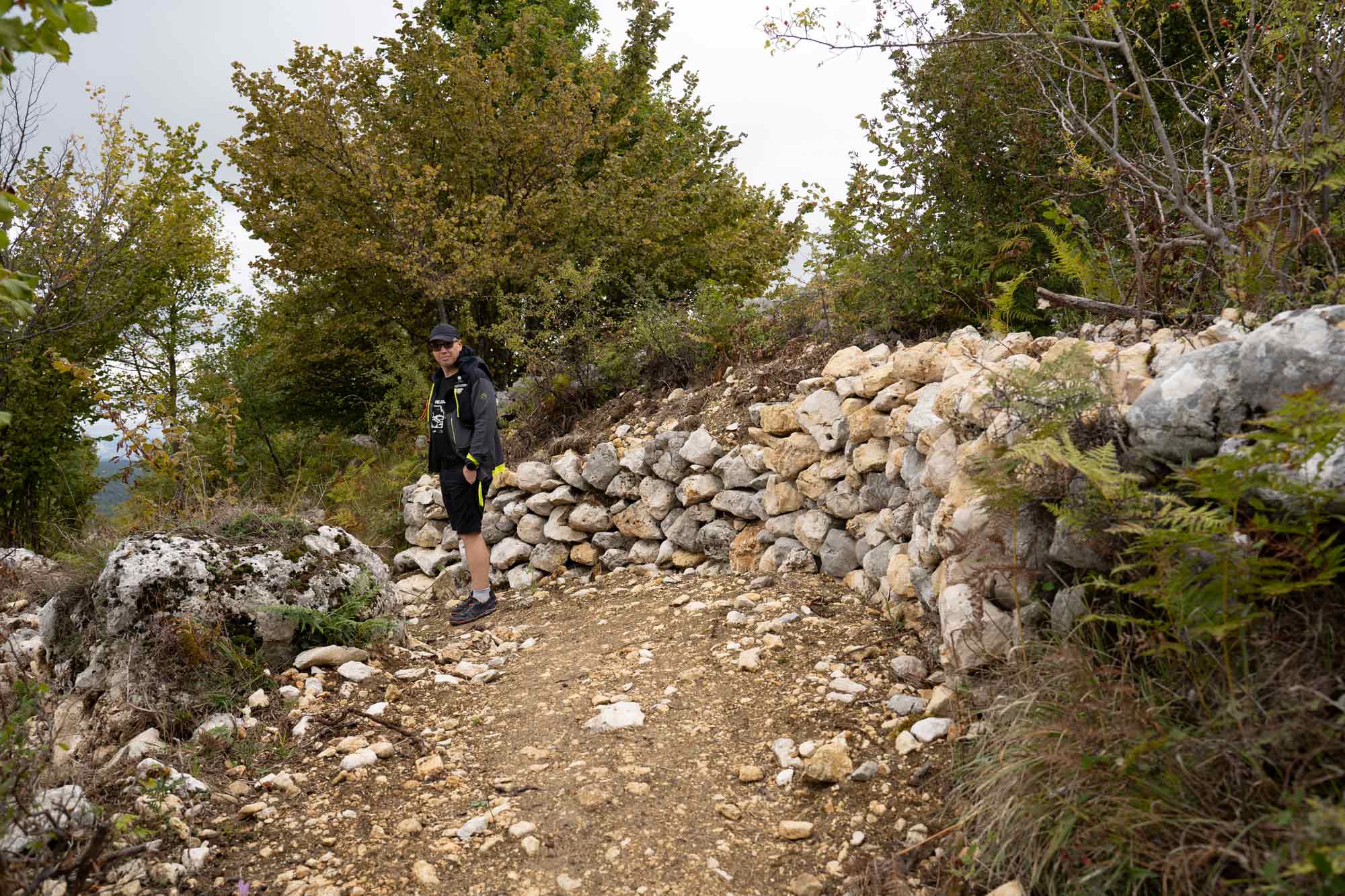
To not end up walking way too far, when we came to a gravel road we followed that for a while to get back onto the trail later.
This road had some insane uphills. Great work for your legs, that’s for sure! The road then led to a grassy path over a field, passing a small farmhouse, then back into the forest and further up the mountain.
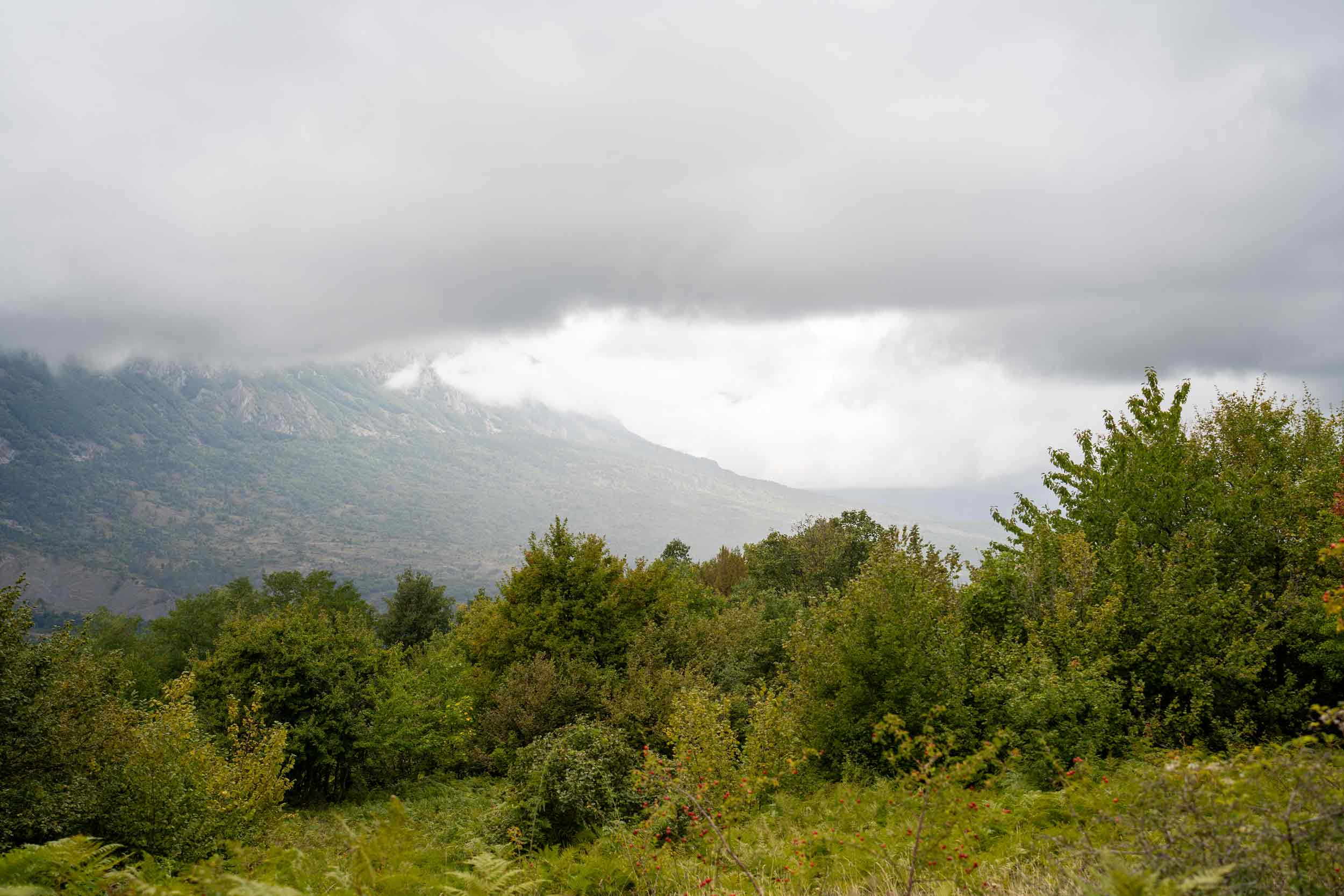
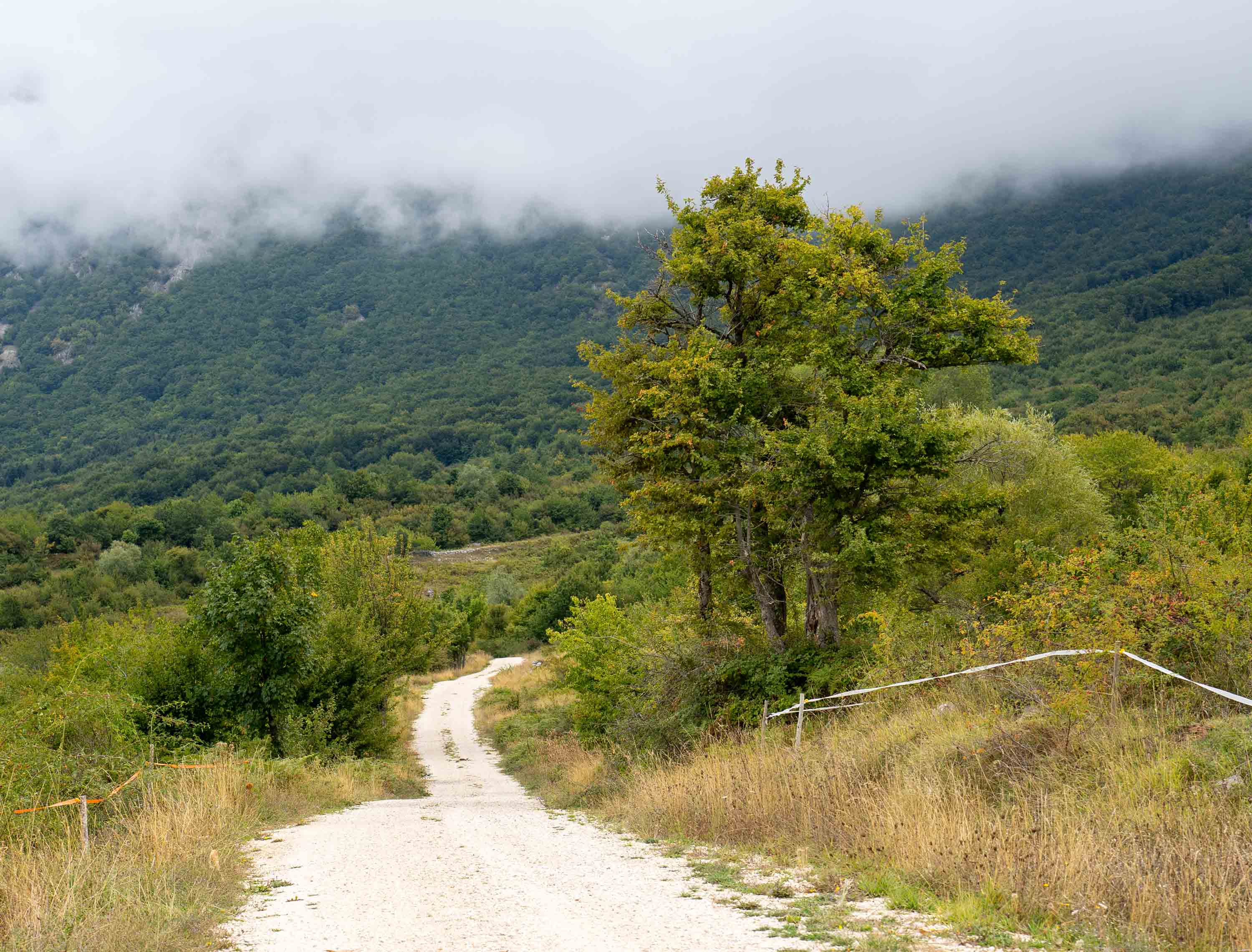
The weather turned drizzly and very foggy. Perhaps not the best when you’re on the mountain but what do you do! We didn’t worry about it, really we were still just at the foot of the mountain, had an idea of where we were heading, the trail was good and it was warm enough.
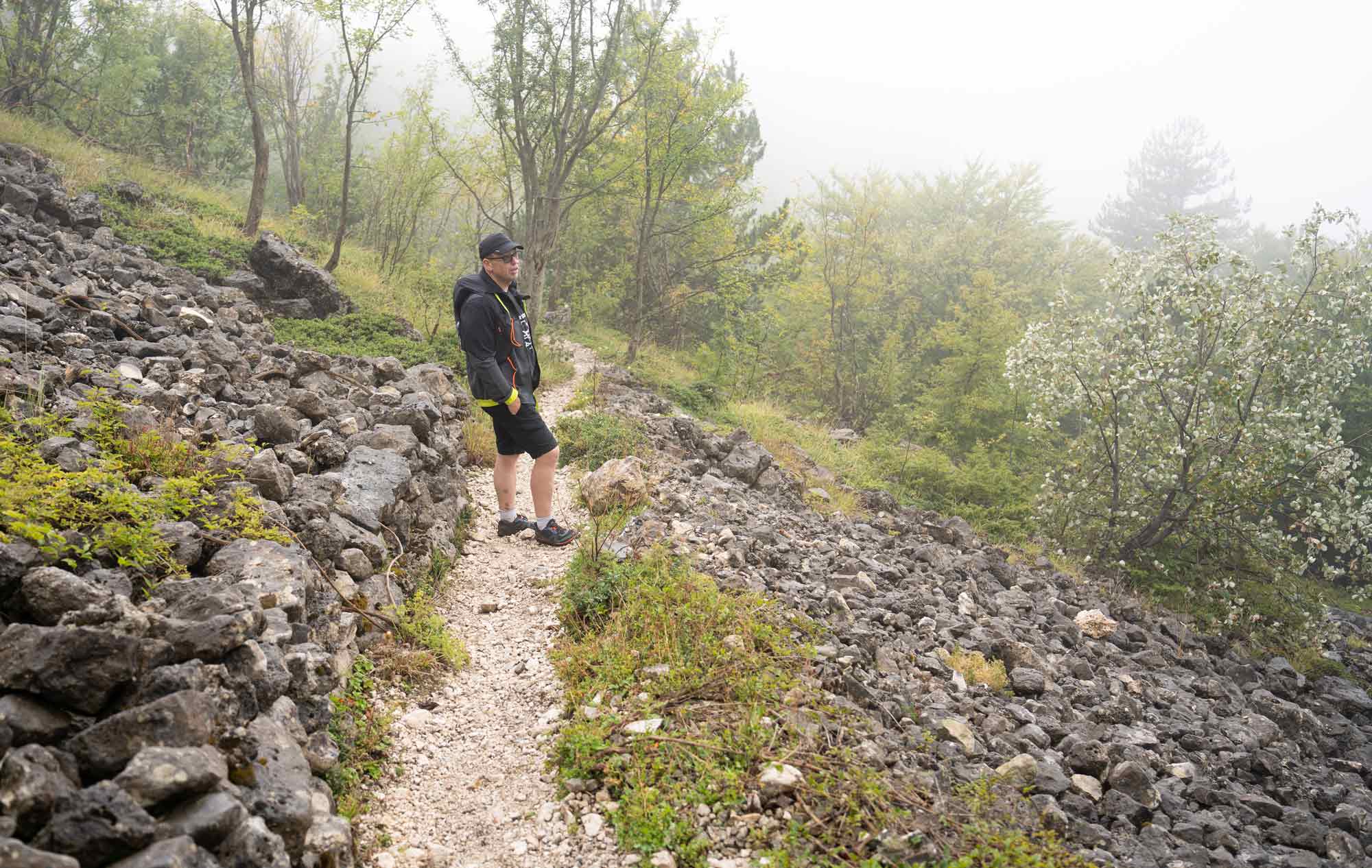
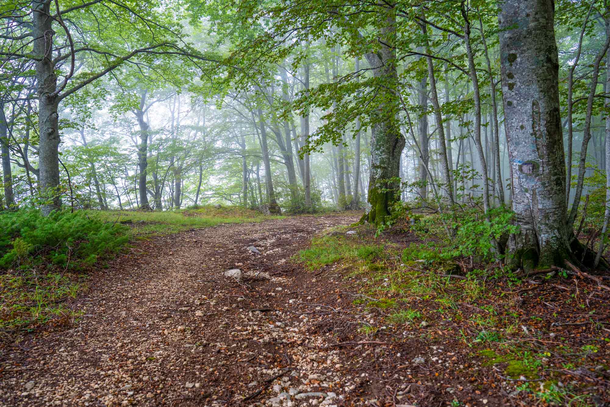
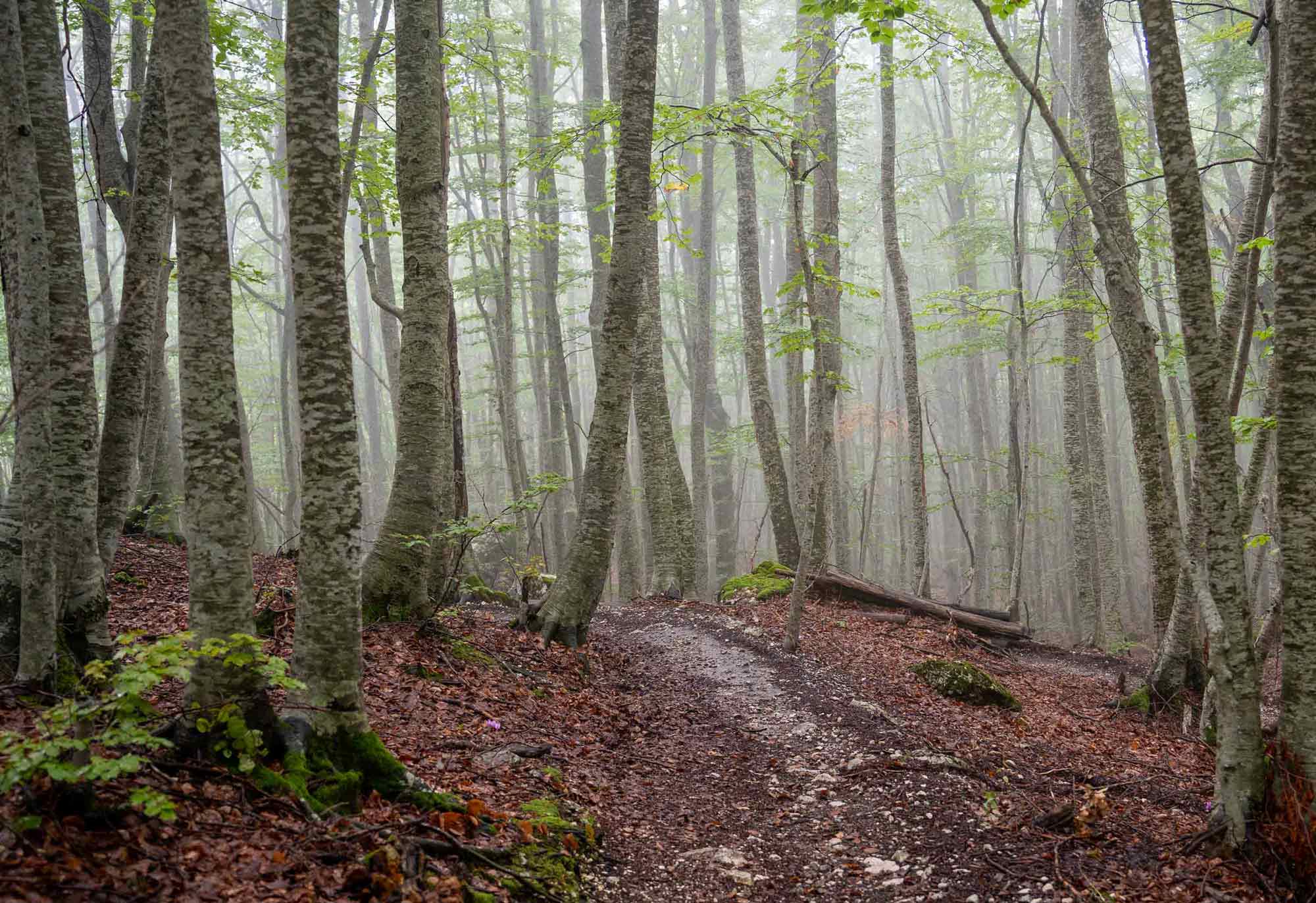
The forest was magical with the fog, and I loved everything about it!
What I didn’t love was some scary sounds and seeing signs of wild boar activity on the trail. Knowing this forest is home to bears, wolves and more was a bit scary, but the only option was to keep walking!
After getting down the hill, we came to the wider and more accessible trail, and assumed we were getting close to the car park. Here it started raining quite heavily but it was a lovely walk, I can only imagine how beautiful it must be on a sunny day!
Exiting the trail, there was no sign of our car park, but we found an information map and a picnic table area, so this was most likely the official starting point of the easy trail. We checked our map and continued forward on a gravel road, and finally got back to the car. The next time we’ll definitely save the car location GPS coordinates just in case!
To my knowledge, the shorter of these trails is around 6 km and the longer should be 13 km – but now afterwards I see different information everywhere about the distances. We ended up walking about 8 km, which is a distance I’ve done many times, but it’s the first time I walk that far on rough terrain. Perhaps the shoes, steep hills and rocky terrain in combination contributed to my foot injury, but knowing what I’ve been able to walk previously and that I’m quite used to hill walking, I mostly suspect the new shoes.
Despite the confusion and injury, I LOVED this hike. The difficulty of the trail was perfect, and the forest was stunning, even in dull weather and fog. As for the wild animals? Our trekking expert friend in Pescara told us that the bears in this area are harmless (although, I wouldn’t want to meet one anyway!).
I’m sad I didn’t take more photos, but the rain kept the camera in the bag for much of the walk.
Do I want to go back? Absolutely yes! But then we’ll prepare more with maps and hiking apps (if possible) more properly before going, I’ll go back to flexible trail running shoes, do more strength training on feet and lower legs during the winter, and we’ll choose a day with better weather.
Sharing in the Wednesday Words & Whimsy link-up with Write of the middle.
Leave a Reply to Jennifer Jones Cancel reply
You may comment in English, Swedish or Italian.